Arujá night lights from space
Night Light of Arujá (São Paulo) from space (Brazil) Src. Average luminocity for 10x10km area is 60.5606% and for 50x50km: 46.0064%.
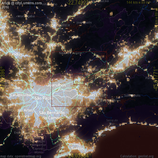
Analysis of Arujá night lights 2016
Square area 10x10 km:
 5.49%
5.49%90-99
11.55%80-89
8.52%70-79
15.34%60-69
13.83%50-59
11.55%40-49
7.58%30-39
7.77%20-29
14.96%10-19
3.41%0-9
0%Square area 50x50 km:
16.43%90-99
7.77%80-89
3.33%70-79
4.96%60-69
5.92%50-59
6.31%40-49
5.45%30-39
4.83%20-29
7.5%10-19
11.9%0-9
25.58%Clear (daylight) street map image can be seen on geolist.org.
Map coordinates:
22° 44' 57.2" South, 47° 1' 26.3" West
23° 23' 46" South, 46° 19' 15" West
24° 2' 23.4" South, 45° 37' 3.8" West
Some cities around Arujá sort by population:
• Guarulhos
22.9 km =14.2 mi,  251°
251°
• Itaquaquecetuba
10.4 km =6.5 mi,  195°
195°
• Mogi das Cruzes
19.5 km =12.1 mi,  136°
136°
• Suzano
16.3 km =10.1 mi,  176°
176°
• Ferraz de Vasconcelos
16.8 km =10.4 mi, 196°
• Poá
14.9 km =9.3 mi,  189°
189°
• Mairiporã
28.5 km =17.7 mi,  287°
287°
• Santa Isabel
13.5 km =8.4 mi,  48°
48°
3471393 (p: 72,077)
Sources (retrieved 2019-11-25):
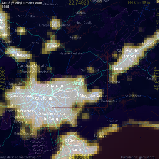
» NASA, Earths city lights 1995
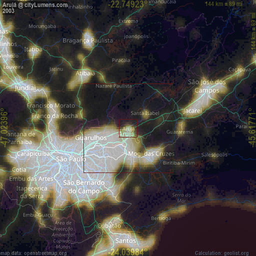
» NASA city lights 2003
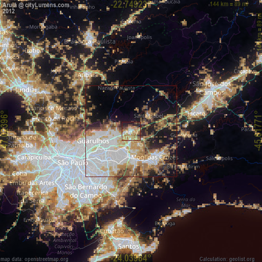
» Earth at Night: Flat Maps 2012, 2016