Peabiru night lights from space
Night Light of Peabiru (Paraná) from space (Brazil) Src. Average luminocity for 10x10km area is 9.1429% and for 50x50km: 4.8802%.
Analysis of Peabiru night lights 2016
Square area 10x10 km:
 1.19%
1.19%90-99
1.19%80-89
0.2%70-79
1.39%60-69
2.98%50-59
0.99%40-49
0.79%30-39
1.59%20-29
0%10-19
0.2%0-9
89.48%Square area 50x50 km:
0.54%90-99
0.61%80-89
0.53%70-79
0.9%60-69
0.68%50-59
0.45%40-49
0.75%30-39
0.66%20-29
0.74%10-19
3.24%0-9
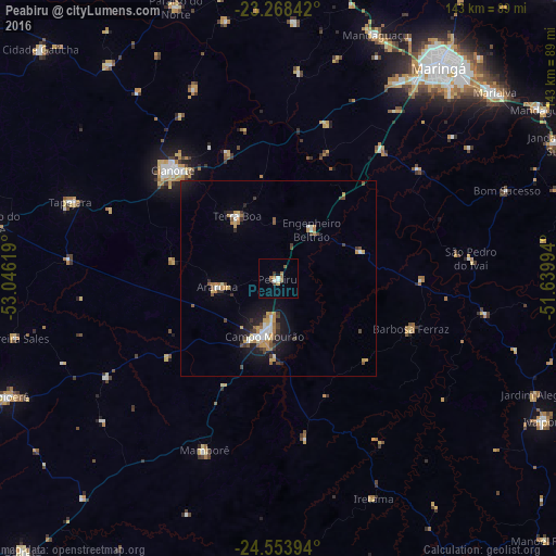
90.9%Clear (daylight) street map image can be seen on geolist.org.
Map coordinates:
23° 16' 6.3" South, 53° 2' 46.3" West
23° 54' 46" South, 52° 20' 35" West
24° 33' 14.2" South, 51° 38' 23.8" West
Some cities around Peabiru sort by population:
• Maringá
68.1 km =42.3 mi,  37°
37°
• Campo Mourão
14.9 km =9.3 mi,  194°
194°
• Cianorte
38.5 km =23.9 mi,  316°
316°
• Paiçandu
58.8 km =36.5 mi,  30°
30°
• Engenheiro Beltrão
14.9 km =9.3 mi, 30°
• Mandaguaçu
67.8 km =42.1 mi,  21°
21°
• Terra Boa
19.1 km =11.9 mi,  327°
327°
• Tapejara
57.5 km =35.7 mi,  290°
290°
3454632 (p: 12,344)
Sources (retrieved 2019-11-25):
» Earth at Night: Flat Maps 2012, 2016