Cianorte night lights from space
Night Light of Cianorte (Paraná) from space (Brazil) Src. Average luminocity for 10x10km area is 51.7798% and for 50x50km: 4.3987%.
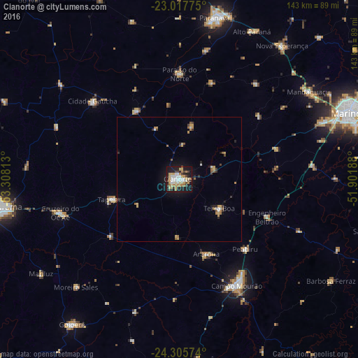
Analysis of Cianorte night lights 2016
Square area 10x10 km:
 11.11%
90-99
8.73%80-89
10.71%70-79
7.94%60-69
7.94%50-59
1.59%40-49
5.16%30-39
5.75%20-29
11.11%10-19
28.57%0-9
1.39%Square area 50x50 km:
0.57%90-99
0.48%80-89
0.7%70-79
0.73%60-69
0.74%50-59
0.25%40-49
0.34%30-39
0.63%20-29
0.79%10-19
2.98%0-9
91.79%Clear (daylight) street map image can be seen on geolist.org.
Map coordinates:
23° 1' 3.9" South, 53° 18' 29.3" West
23° 39' 48" South, 52° 36' 18" West
24° 18' 20.7" South, 51° 54' 6.8" West
Some cities around Cianorte sort by population:
• Campo Mourão
48.1 km =29.9 mi,  151°
151°
• Paiçandu
61.2 km =38 mi,  68°
68°
• Cruzeiro do Oeste
49.6 km =30.8 mi,  254°
254°
• Engenheiro Beltrão
37.3 km =23.2 mi,  113°
113°
• Terra Boa
20.1 km =12.5 mi,  125°
125°
• Peabiru
38.5 km =23.9 mi,  136°
136°
• Tapejara
28.4 km =17.6 mi, 254°
• Moreira Sales
60.3 km =37.5 mi,  222°
222°
3466174 (p: 55,994)
Sources (retrieved 2019-11-25):
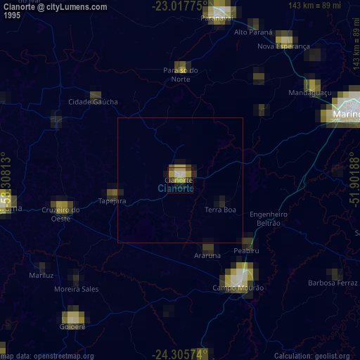
» NASA, Earths city lights 1995
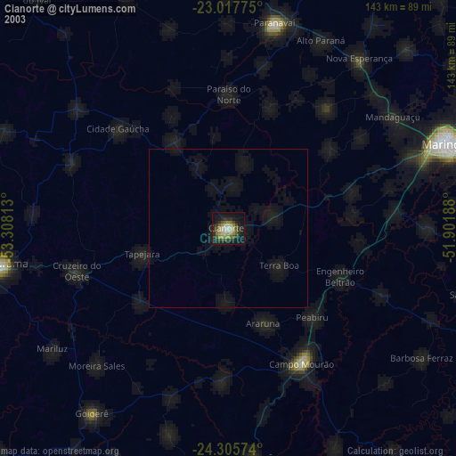
» NASA city lights 2003
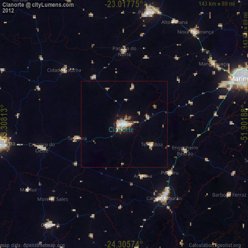
» Earth at Night: Flat Maps 2012, 2016