Patos night lights from space
Night Light of Patos (Paraíba) from space (Brazil) Src. Average luminocity for 10x10km area is 51.4481% and for 50x50km: 4.4544%.

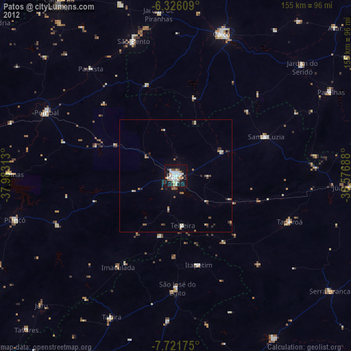
Analysis of Patos night lights 2016
Square area 10x10 km:
 10.61%
90-99
19.91%80-89
1.73%70-79
4.55%60-69
4.11%50-59
4.55%40-49
5.63%30-39
4.11%20-29
12.34%10-19
31.17%0-9
1.3%Square area 50x50 km:
0.5%90-99
1.27%80-89
0.22%70-79
0.34%60-69
0.49%50-59
0.45%40-49
0.64%30-39
0.43%20-29
1.14%10-19
3.15%0-9
91.36%Clear (daylight) street map image can be seen on geolist.org.
Map coordinates:
6° 19' 33.9" South, 37° 58' 59.3" West
7° 1' 28" South, 37° 16' 48" West
7° 43' 18.3" South, 36° 34' 36.8" West
Some cities around Patos sort by population:
• Caicó
66.1 km =41.1 mi,  17°
17°
• Pombal
64.1 km =39.8 mi,  296°
296°
• São José do Egito
50.5 km =31.4 mi,  179°
179°
• Tabira
69.2 km =43 mi,  204°
204°
• Santa Luzia
43.3 km =26.9 mi,  67°
67°
• Teixeira
22.2 km =13.8 mi,  172°
172°
• Taperoá
54 km =33.6 mi,  112°
112°
• Desterro
36 km =22.4 mi,  145°
145°
3392887 (p: 92,575)
Sources (retrieved 2019-11-25):
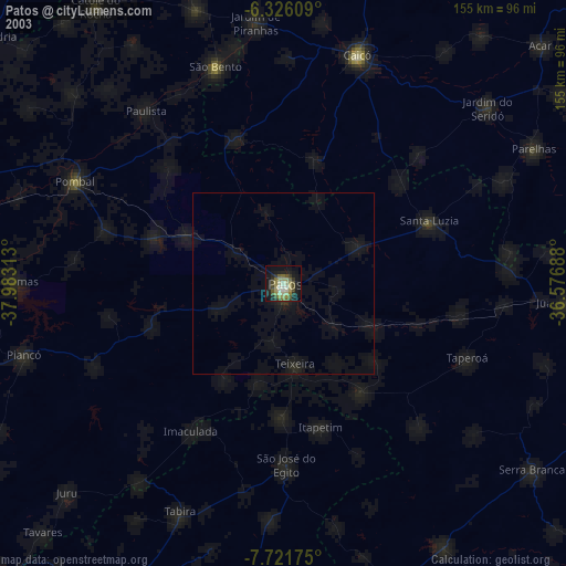
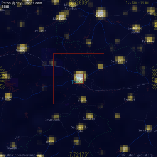
» NASA, Earths city lights 1995
» NASA city lights 2003
» Earth at Night: Flat Maps 2012, 2016