Desterro night lights from space
Night Light of Desterro (Paraíba) from space (Brazil) Src. Average luminocity for 10x10km area is 5.2532% and for 50x50km: 2.8722%.
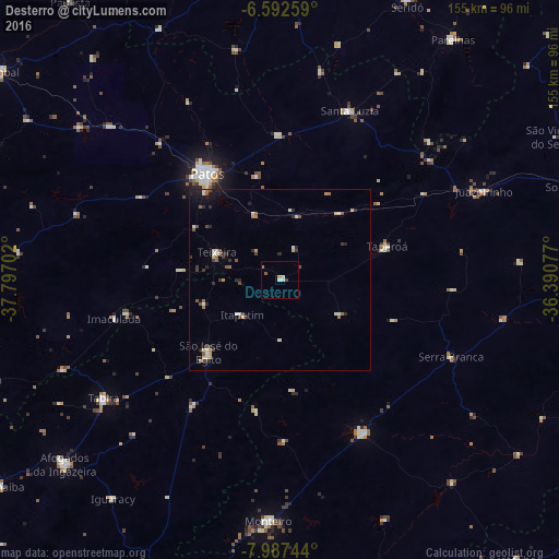
Analysis of Desterro night lights 2016
Square area 10x10 km:
 0%
0%90-99
1.95%80-89
0.65%70-79
0.87%60-69
0.87%50-59
0.87%40-49
0.87%30-39
0%20-29
0%10-19
0%0-9
93.94%Square area 50x50 km:
0.13%90-99
0.61%80-89
0.35%70-79
0.23%60-69
0.44%50-59
0.38%40-49
0.4%30-39
0.49%20-29
0.78%10-19
0.87%0-9
95.32%Clear (daylight) street map image can be seen on geolist.org.
Map coordinates:
6° 35' 33.3" South, 37° 47' 49.3" West
7° 17' 26" South, 37° 5' 38" West
7° 59' 14.8" South, 36° 23' 26.8" West
Some cities around Desterro sort by population:
• Patos
36 km =22.4 mi,  325°
325°
• São José do Egito
28.9 km =18 mi,  223°
223°
• Monteiro
66.7 km =41.4 mi,  182°
182°
• Tabira
59.4 km =36.9 mi,  235°
235°
• Santa Luzia
50.4 km =31.3 mi,  22°
22°
• Sumé
48.5 km =30.1 mi,  150°
150°
• Teixeira
19.2 km =11.9 mi,  293°
293°
• Taperoá
30.9 km =19.2 mi,  72°
72°
3401060 (p: 5,374)
Sources (retrieved 2019-11-25):
» Earth at Night: Flat Maps 2012, 2016