Taperoá night lights from space
Night Light of Taperoá (Paraíba) from space (Brazil) Src. Average luminocity for 10x10km area is 7.7403% and for 50x50km: 1.4941%.
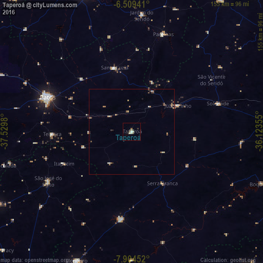
Analysis of Taperoá night lights 2016
Square area 10x10 km:
 0.43%
0.43%90-99
2.38%80-89
1.52%70-79
0%60-69
1.52%50-59
0.22%40-49
1.08%30-39
2.38%20-29
0.65%10-19
0.22%0-9
89.61%Square area 50x50 km:
0.05%90-99
0.32%80-89
0.22%70-79
0.13%60-69
0.35%50-59
0.25%40-49
0.29%30-39
0.23%20-29
0.19%10-19
0.1%0-9
97.87%Clear (daylight) street map image can be seen on geolist.org.
Map coordinates:
6° 30' 33.9" South, 37° 31' 47.3" West
7° 12' 27" South, 36° 49' 36" West
7° 54' 16.3" South, 36° 7' 24.8" West
Some cities around Taperoá sort by population:
• Patos
54 km =33.6 mi,  292°
292°
• São José do Egito
57.9 km =36 mi,  238°
238°
• Parelhas
60.7 km =37.7 mi,  17°
17°
• Santa Luzia
38.6 km =24 mi,  344°
344°
• Sumé
51.9 km =32.2 mi,  186°
186°
• Teixeira
47.2 km =29.3 mi,  267°
267°
• Soledade
53.8 km =33.4 mi,  71°
71°
• Desterro
30.9 km =19.2 mi,  252°
252°
3386693 (p: 8,879)
Sources (retrieved 2019-11-25):
» Earth at Night: Flat Maps 2012, 2016