Altãnia night lights from space
Night Light of Altãnia (Paraná) from space (Brazil) Src. Average luminocity for 10x10km area is 7.4167% and for 50x50km: 1.5762%.
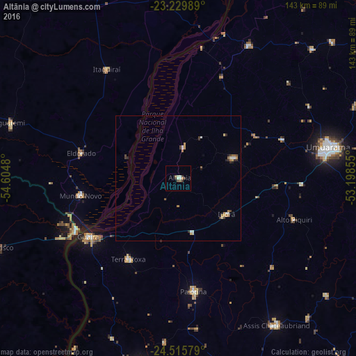
Analysis of Altãnia night lights 2016
Square area 10x10 km:
 0.2%
0.2%90-99
2.78%80-89
0.2%70-79
0.79%60-69
1.19%50-59
0.6%40-49
1.39%30-39
2.38%20-29
0%10-19
0%0-9
90.48%Square area 50x50 km:
0.08%90-99
0.34%80-89
0.19%70-79
0.26%60-69
0.3%50-59
0.11%40-49
0.26%30-39
0.32%20-29
0.17%10-19
0.07%0-9
97.9%Clear (daylight) street map image can be seen on geolist.org.
Map coordinates:
23° 13' 47.6" South, 54° 36' 17.3" West
23° 52' 28" South, 53° 54' 6" West
24° 30' 56.8" South, 53° 11' 54.8" West
Some cities around Altãnia sort by population:
• Umuarama
59.9 km =37.2 mi,  78°
78°
• Marechal Cândido Rondon
77.4 km =48.1 mi,  191°
191°
• Palotina
46 km =28.6 mi,  172°
172°
• Iporã
24.6 km =15.3 mi,  125°
125°
• Alto Piquiri
49.9 km =31 mi,  110°
110°
• Iguatemi
70.5 km =43.8 mi,  287°
287°
• Eldorado
40 km =24.9 mi,  284°
284°
• Salto del Guairá, PY
46.2 km =28.7 mi,  243°
243°
3472444 (p: 11,242)
Sources (retrieved 2019-11-25):
» Earth at Night: Flat Maps 2012, 2016