Monte Mor night lights from space
Night Light of Monte Mor (São Paulo) from space (Brazil) Src. Average luminocity for 10x10km area is 36.8611% and for 50x50km: 44.0722%.
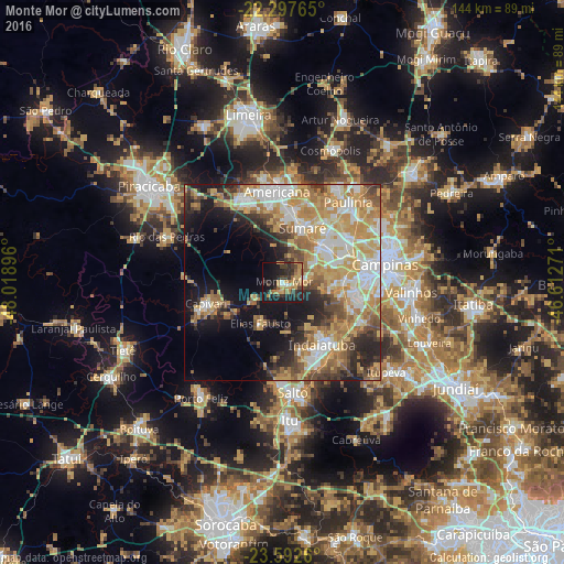
Analysis of Monte Mor night lights 2016
Square area 10x10 km:
 2.38%
2.38%90-99
1.39%80-89
3.77%70-79
9.72%60-69
9.33%50-59
4.96%40-49
3.37%30-39
10.91%20-29
16.87%10-19
27.18%0-9
10.12%Square area 50x50 km:
7.21%90-99
7.83%80-89
7.63%70-79
10.19%60-69
7.28%50-59
4.8%40-49
4.73%30-39
4.94%20-29
7.42%10-19
12.35%0-9
25.62%Clear (daylight) street map image can be seen on geolist.org.
Map coordinates:
22° 17' 51.5" South, 48° 1' 8.3" West
22° 56' 48" South, 47° 18' 57" West
23° 35' 33.4" South, 46° 36' 45.8" West
Some cities around Monte Mor sort by population:
• Sumaré
14.7 km =9.1 mi,  19°
19°
• Hortolândia
13.9 km =8.6 mi,  44°
44°
• Americana
23.1 km =14.4 mi,  356°
356°
• Santa Bárbara d'Oeste
23.7 km =14.7 mi,  334°
334°
• Indaiatuba
19 km =11.8 mi,  145°
145°
• Nova Odessa
18.9 km =11.7 mi,  6°
6°
• Capivari
20.4 km =12.7 mi,  254°
254°
• Elias Fausto
12.2 km =7.6 mi,  209°
209°
3456827 (p: 40,290)
Sources (retrieved 2019-11-25):
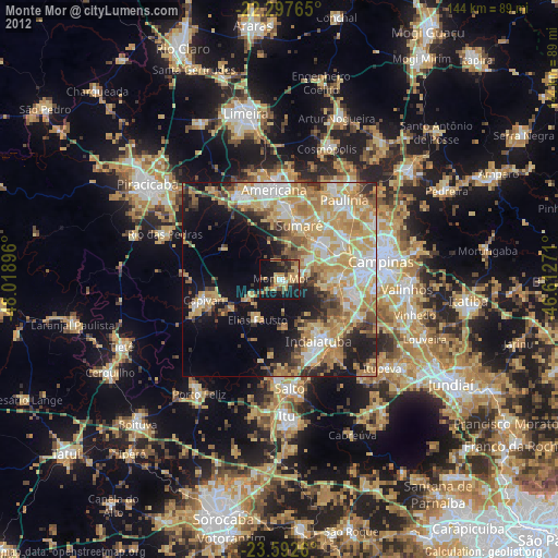
» Earth at Night: Flat Maps 2012, 2016