Mongaguá night lights from space
Night Light of Mongaguá (São Paulo) from space (Brazil) Src. Average luminocity for 10x10km area is 27.9981% and for 50x50km: 16.2766%.
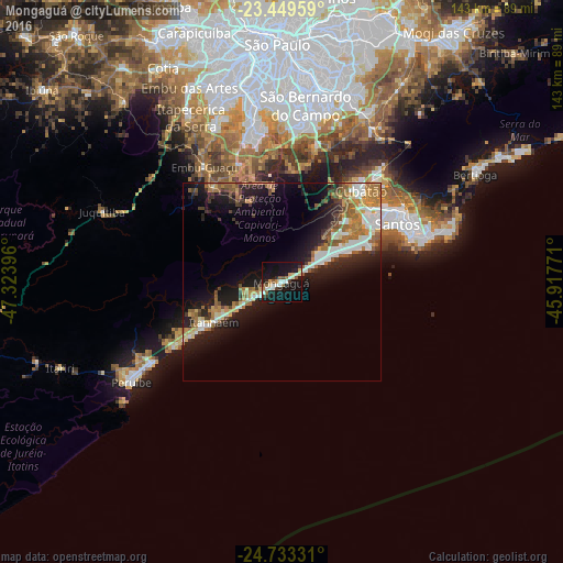
Analysis of Mongaguá night lights 2016
Square area 10x10 km:
 3.98%
3.98%90-99
5.49%80-89
3.41%70-79
2.27%60-69
1.89%50-59
3.6%40-49
2.08%30-39
3.79%20-29
4.17%10-19
46.78%0-9
22.54%Square area 50x50 km:
2.42%90-99
2.78%80-89
1.64%70-79
1.85%60-69
3.12%50-59
2.64%40-49
1.57%30-39
2.14%20-29
3.96%10-19
12.52%0-9
65.36%Clear (daylight) street map image can be seen on geolist.org.
Map coordinates:
23° 26' 58.5" South, 47° 19' 26.3" West
24° 5' 35" South, 46° 37' 15" West
24° 43' 59.9" South, 45° 55' 3.8" West
Some cities around Mongaguá sort by population:
• Santos
32.7 km =20.3 mi,  63°
63°
• São Vicente
27.4 km =17 mi, 58°
• Guarujá
38.6 km =24 mi,  73°
73°
• Praia Grande
24.2 km =15 mi, 66°
• Cubatão
29.7 km =18.5 mi,  42°
42°
• Itanhaém
19.8 km =12.3 mi,  239°
239°
• Embu Guaçu
34.9 km =21.7 mi,  326°
326°
• São Lourenço da Serra
42.2 km =26.2 mi,  309°
309°
3456944 (p: 45,930)
Sources (retrieved 2019-11-25):
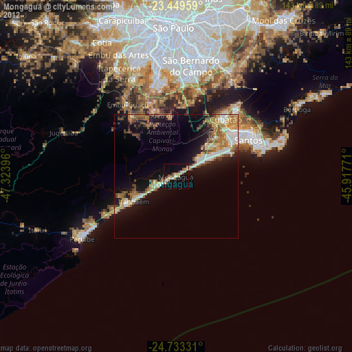
» Earth at Night: Flat Maps 2012, 2016