Guarujá night lights from space
Night Light of Guarujá (São Paulo) from space (Brazil) Src. Average luminocity for 10x10km area is 66.5303% and for 50x50km: 21.9861%.
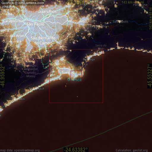

Analysis of Guarujá night lights 2016
Square area 10x10 km:
 22.16%
90-99
18.37%80-89
6.25%70-79
6.06%60-69
6.82%50-59
7.77%40-49
5.11%30-39
3.6%20-29
11.74%10-19
11.17%0-9
0.95%Square area 50x50 km:
4.34%90-99
4.07%80-89
1.69%70-79
2.35%60-69
4.11%50-59
3.65%40-49
3%30-39
3.23%20-29
6.05%10-19
10.32%0-9
57.2%Clear (daylight) street map image can be seen on geolist.org.
Map coordinates:
23° 20' 56.8" South, 46° 57' 34.3" West
23° 59' 35" South, 46° 15' 23" West
24° 38' 1.8" South, 45° 33' 11.8" West
Some cities around Guarujá sort by population:
• Santos
8.6 km =5.3 mi,  294°
294°
• São Vicente
14.2 km =8.8 mi,  283°
283°
• Praia Grande
14.9 km =9.3 mi,  264°
264°
• Cubatão
20.3 km =12.6 mi,  302°
302°
• Ribeirão Pires
35.2 km =21.9 mi,  333°
333°
• Mongaguá
38.6 km =24 mi,  253°
253°
• Rio Grande da Serra
31.2 km =19.4 mi, 332°
• Bertioga
19.5 km =12.1 mi,  37°
37°
3461789 (p: 310,424)
Sources (retrieved 2019-11-25):
» NASA, Earths city lights 1995
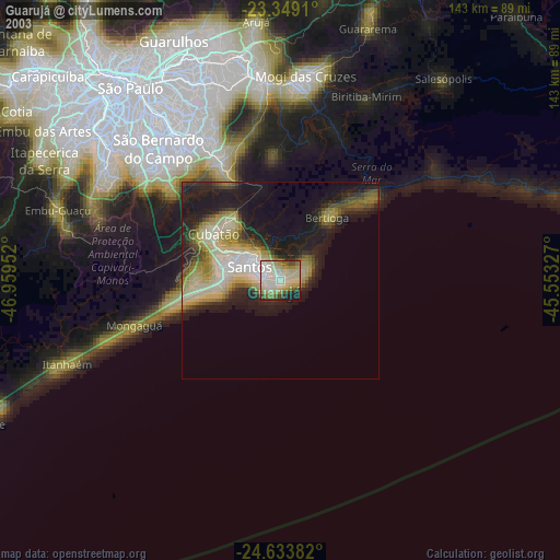
» NASA city lights 2003
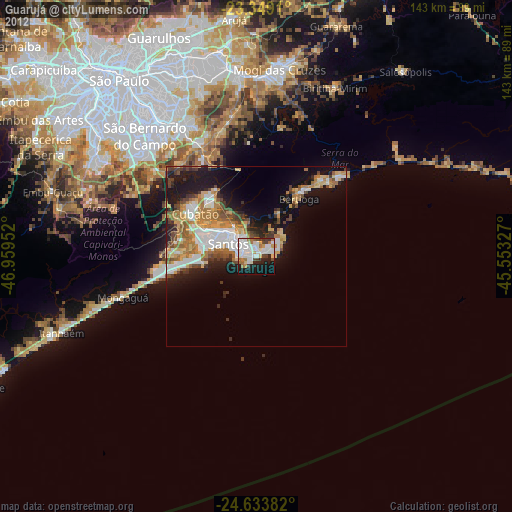
» Earth at Night: Flat Maps 2012, 2016