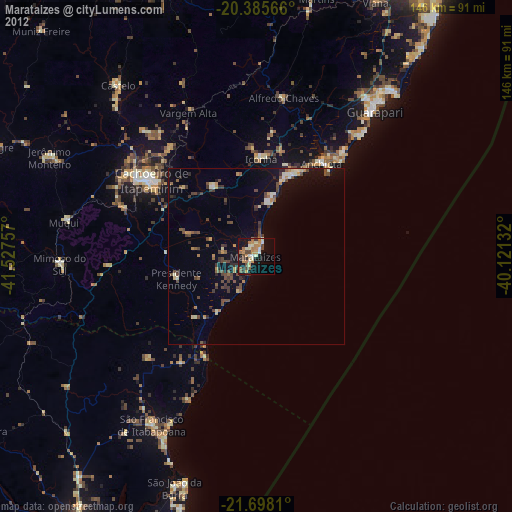
Marataizes night lights from space
Night Light of Marataizes (Espírito Santo) from space (Brazil) Src. Average luminocity for 10x10km area is 36.6746% and for 50x50km: 8.7618%.
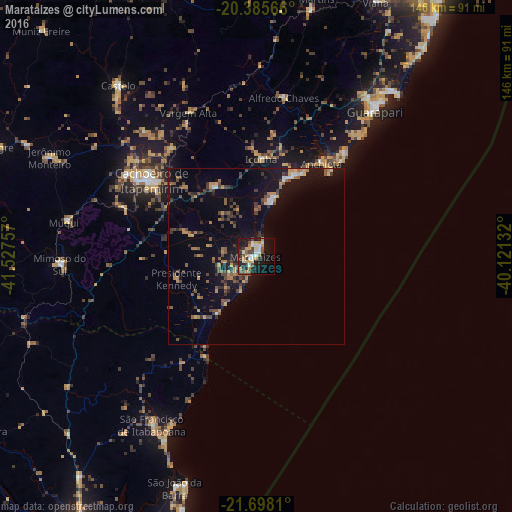
Analysis of Marataizes night lights 2016
Square area 10x10 km:
 4.37%
4.37%90-99
8.73%80-89
3.37%70-79
7.14%60-69
2.98%50-59
3.57%40-49
6.15%30-39
5.75%20-29
8.53%10-19
30.95%0-9
18.45%Square area 50x50 km:
0.44%90-99
0.64%80-89
0.6%70-79
1.35%60-69
1.2%50-59
1.43%40-49
2.41%30-39
1.67%20-29
1.43%10-19
7.84%0-9
80.99%Clear (daylight) street map image can be seen on geolist.org.
Map coordinates:
20° 23' 8.4" South, 41° 31' 39.3" West
21° 2' 36" South, 40° 49' 28" West
21° 41' 53.2" South, 40° 7' 16.8" West
Some cities around Marataizes sort by population:
• Cachoeiro de Itapemirim
36.9 km =22.9 mi,  305°
305°
• Guarapari
53.2 km =33.1 mi,  39°
39°
• Piúma
25.2 km =15.7 mi,  24°
24°
• Itapemirim
3.7 km =2.3 mi,  344°
344°
• Mimoso do Sul
56.3 km =35 mi,  267°
267°
• Rio Novo do Sul
23.2 km =14.4 mi,  329°
329°
• Alfredo Chaves
46.1 km =28.6 mi,  9°
9°
• Iconha
27.9 km =17.3 mi,  2°
2°
3457819 (p: 25,397)
Sources (retrieved 2019-11-25):
» Earth at Night: Flat Maps 2012, 2016