Guarapari night lights from space
Night Light of Guarapari (Espírito Santo) from space (Brazil) Src. Average luminocity for 10x10km area is 45.5227% and for 50x50km: 9.969%.
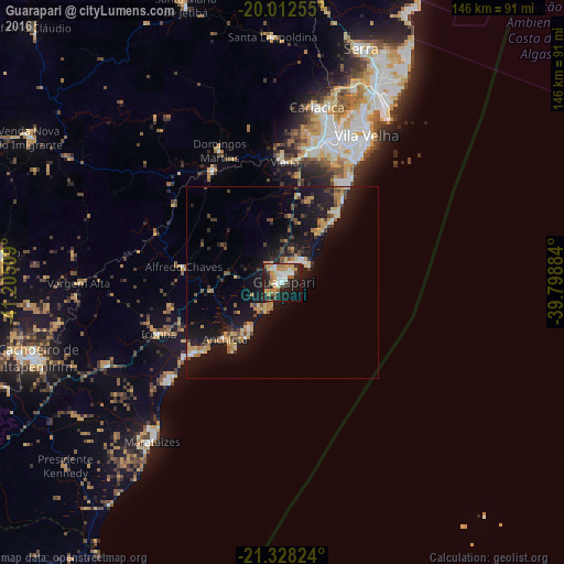
Analysis of Guarapari night lights 2016
Square area 10x10 km:
 7.58%
7.58%90-99
7.95%80-89
7.58%70-79
10.04%60-69
4.55%50-59
4.17%40-49
3.03%30-39
2.84%20-29
18.94%10-19
26.33%0-9
7.01%Square area 50x50 km:
0.69%90-99
0.74%80-89
1.51%70-79
2.1%60-69
0.93%50-59
1.07%40-49
1.78%30-39
1.09%20-29
3.03%10-19
12.84%0-9
74.23%Clear (daylight) street map image can be seen on geolist.org.
Map coordinates:
20° 0' 45.2" South, 41° 12' 18.3" West
20° 40' 18.6" South, 40° 30' 7.1" West
21° 19' 41.7" South, 39° 47' 55.8" West
Some cities around Guarapari sort by population:
• Vila Velha
43.8 km =27.2 mi,  29°
29°
• Vitória
42.7 km =26.5 mi,  23°
23°
• Viana
31.3 km =19.4 mi,  1°
1°
• Piúma
29.4 km =18.3 mi,  231°
231°
• Alfredo Chaves
26.1 km =16.2 mi,  279°
279°
• Domingos Martins
38 km =23.6 mi,  334°
334°
• Marechal Floriano
34.4 km =21.4 mi, 326°
• Iconha
34.9 km =21.7 mi,  247°
247°
3461888 (p: 100,925)
Sources (retrieved 2019-11-25):
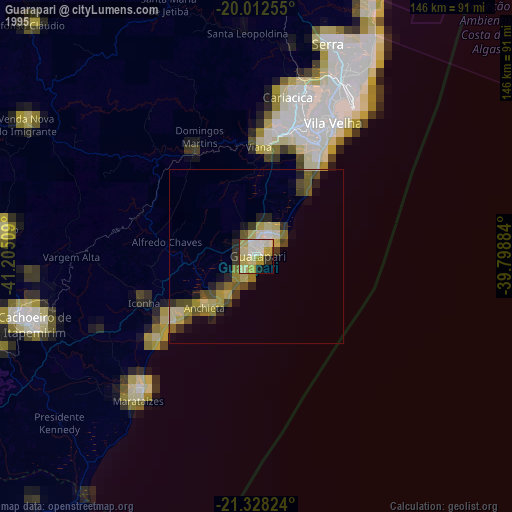
» NASA, Earths city lights 1995
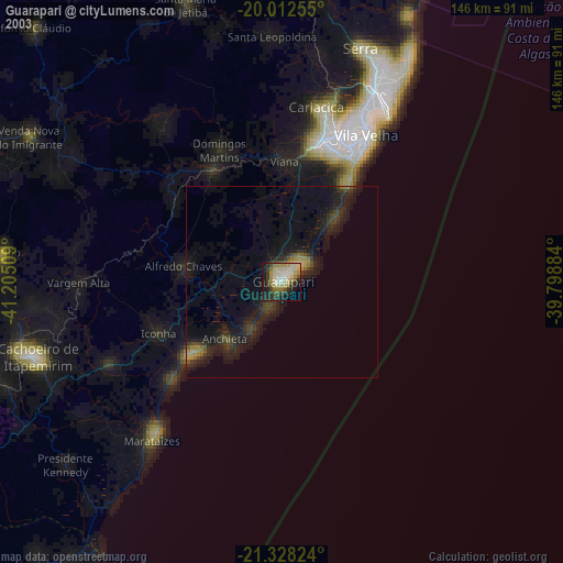
» NASA city lights 2003
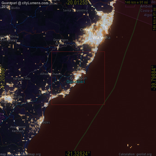
» Earth at Night: Flat Maps 2012, 2016