Ponta Porã night lights from space
Night Light of Ponta Porã (Mato Grosso do Sul) from space (Brazil) Src. Average luminocity for 10x10km area is 65.7045% and for 50x50km: 4.6215%.
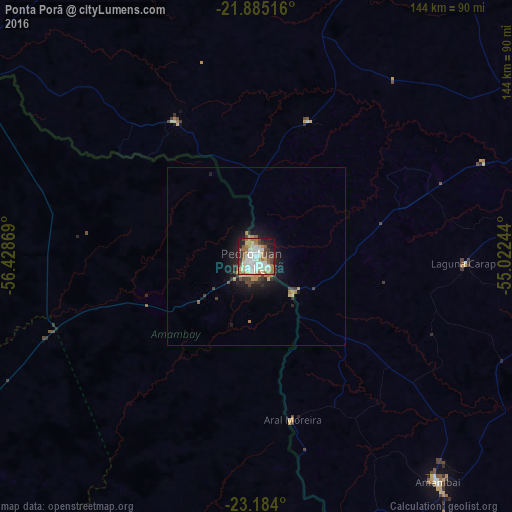
Analysis of Ponta Porã night lights 2016
Square area 10x10 km:
 16.86%
90-99
17.42%80-89
9.28%70-79
3.22%60-69
15.15%50-59
3.41%40-49
9.85%30-39
6.06%20-29
10.04%10-19
8.52%0-9
0.19%Square area 50x50 km:
0.7%90-99
0.72%80-89
0.67%70-79
0.35%60-69
0.9%50-59
0.22%40-49
0.82%30-39
0.75%20-29
0.98%10-19
3.4%0-9
90.5%Clear (daylight) street map image can be seen on geolist.org.
Map coordinates:
21° 53' 6.6" South, 56° 25' 43.3" West
22° 32' 10" South, 55° 43' 32" West
23° 11' 2.4" South, 55° 1' 20.8" West
Some cities around Ponta Porã sort by population:
• Dourados
100.9 km =62.7 mi,  69°
69°
• Pedro Juan Caballero, PY
1.5 km =0.9 mi,  212°
212°
• Jardim
124.9 km =77.6 mi,  340°
340°
• Maracaju
117.5 km =73 mi,  29°
29°
• Bela Vista
94.6 km =58.8 mi,  300°
300°
• Caarapó
93.4 km =58 mi,  96°
96°
• Capitán Bado, PY
83.6 km =51.9 mi,  166°
166°
• Bella Vista, PY
92.9 km =57.7 mi, 298°
3453150 (p: 55,763)
Sources (retrieved 2019-11-25):
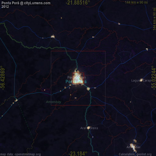
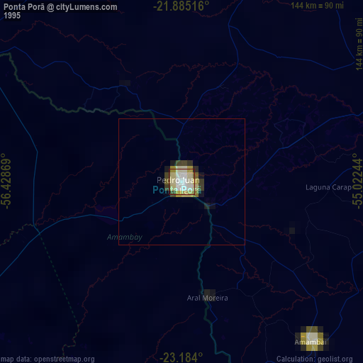
» NASA, Earths city lights 1995
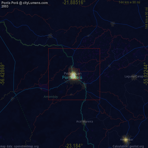
» NASA city lights 2003
» Earth at Night: Flat Maps 2012, 2016