Itaituba night lights from space
Night Light of Itaituba (Pará) from space (Brazil) Src. Average luminocity for 10x10km area is 40.645% and for 50x50km: 2.237%.
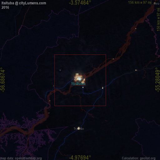

Analysis of Itaituba night lights 2016
Square area 10x10 km:
 3.68%
3.68%90-99
3.46%80-89
9.31%70-79
14.5%60-69
4.33%50-59
4.76%40-49
4.33%30-39
4.11%20-29
2.6%10-19
32.68%0-9
16.23%Square area 50x50 km:
0.14%90-99
0.16%80-89
0.53%70-79
0.57%60-69
0.2%50-59
0.23%40-49
0.27%30-39
0.2%20-29
0.15%10-19
2.34%0-9
95.21%Clear (daylight) street map image can be seen on geolist.org.
Map coordinates:
3° 34' 28.7" South, 56° 41' 12.3" West
4° 16' 34" South, 55° 59' 1" West
4° 58' 37" South, 55° 16' 49.8" West
Some cities around Itaituba sort by population:
• Santarém
248.1 km =154.2 mi,  34°
34°
• Parintins
201.3 km =125.1 mi,  335°
335°
• Maués
216.6 km =134.6 mi,  297°
297°
• Terra Santa
247.9 km =154 mi,  346°
346°
• Juruti
236.5 km =147 mi,  357°
357°
• Barreirinha
204.2 km =126.9 mi,  323°
323°
• Guajará
236.8 km =147.1 mi,  307°
307°
• Nhamundá
246.1 km =152.9 mi, 340°
3397967 (p: 64,756)
Sources (retrieved 2019-11-25):
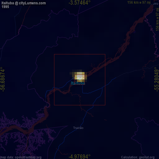
» NASA, Earths city lights 1995
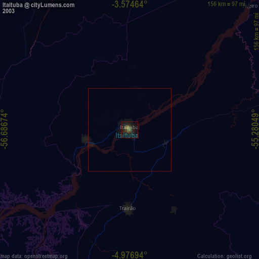
» NASA city lights 2003
» Earth at Night: Flat Maps 2012, 2016