Maués night lights from space
Night Light of Maués (Amazonas) from space (Brazil) Src. Average luminocity for 10x10km area is 10.3896% and for 50x50km: 0.4338%.
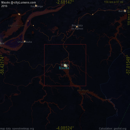
Analysis of Maués night lights 2016
Square area 10x10 km:
 1.08%
1.08%90-99
2.38%80-89
0%70-79
1.52%60-69
1.95%50-59
1.73%40-49
1.73%30-39
2.81%20-29
0.65%10-19
0%0-9
86.15%Square area 50x50 km:
0.04%90-99
0.1%80-89
0%70-79
0.06%60-69
0.08%50-59
0.07%40-49
0.07%30-39
0.11%20-29
0.03%10-19
0%0-9
99.45%Clear (daylight) street map image can be seen on geolist.org.
Map coordinates:
2° 40' 53.3" South, 58° 25' 18.3" West
3° 23' 1" South, 57° 43' 7" West
4° 5' 6.9" South, 57° 0' 55.8" West
Some cities around Maués sort by population:
• Itacoatiara
84.9 km =52.8 mi,  288°
288°
• Parintins
137.7 km =85.6 mi,  52°
52°
• Nova Olinda do Norte
162.9 km =101.2 mi,  249°
249°
• Barreirinha
97.4 km =60.5 mi, 47°
• Urucurituba
56.5 km =35.1 mi,  300°
300°
• Guajará
46.7 km =29 mi,  7°
7°
• Autazes
158.2 km =98.3 mi,  262°
262°
• Urucará
94.3 km =58.6 mi,  357°
357°
3395062 (p: 22,475)
Sources (retrieved 2019-11-25):
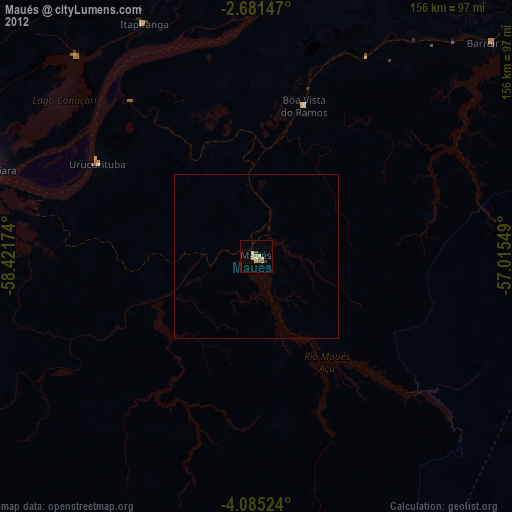
» Earth at Night: Flat Maps 2012, 2016