Barreirinha night lights from space
Night Light of Barreirinha (Amazonas) from space (Brazil) Src. Average luminocity for 10x10km area is 3.342% and for 50x50km: 0.1555%.
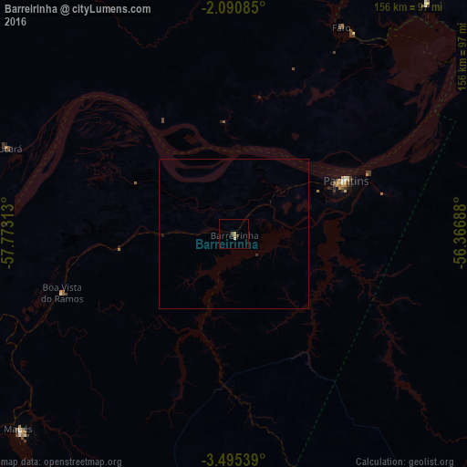
Analysis of Barreirinha night lights 2016
Square area 10x10 km:
 0%
0%90-99
0%80-89
0.87%70-79
0.87%60-69
0.87%50-59
0.22%40-49
0.87%30-39
1.3%20-29
0.22%10-19
0%0-9
94.81%Square area 50x50 km:
0%90-99
0%80-89
0.03%70-79
0.03%60-69
0.03%50-59
0.01%40-49
0.03%30-39
0.09%20-29
0.01%10-19
0.03%0-9
99.72%Clear (daylight) street map image can be seen on geolist.org.
Map coordinates:
2° 5' 27.1" South, 57° 46' 23.3" West
2° 47' 36" South, 57° 4' 12" West
3° 29' 43.4" South, 56° 22' 0.8" West
Some cities around Barreirinha sort by population:
• Parintins
41.4 km =25.7 mi,  63°
63°
• Maués
97.4 km =60.5 mi,  227°
227°
• Terra Santa
100.3 km =62.3 mi,  40°
40°
• Juruti
129.9 km =80.7 mi, 56°
• Urucurituba
126.5 km =78.6 mi,  252°
252°
• Guajará
69 km =42.9 mi, 253°
• Urucará
81.8 km =50.8 mi,  290°
290°
• Nhamundá
78.3 km =48.7 mi,  30°
30°
3406202 (p: 11,257)
Sources (retrieved 2019-11-25):
» Earth at Night: Flat Maps 2012, 2016