Iguape night lights from space
Night Light of Iguape (São Paulo) from space (Brazil) Src. Average luminocity for 10x10km area is 23.8433% and for 50x50km: 1.5788%.
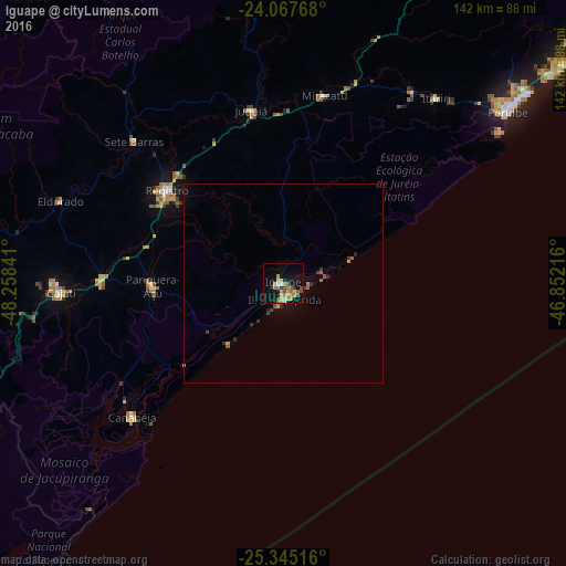
Analysis of Iguape night lights 2016
Square area 10x10 km:
 0.99%
0.99%90-99
1.39%80-89
3.77%70-79
6.94%60-69
6.35%50-59
3.57%40-49
3.37%30-39
1.59%20-29
1.19%10-19
19.44%0-9
51.39%Square area 50x50 km:
0.04%90-99
0.05%80-89
0.19%70-79
0.37%60-69
0.31%50-59
0.32%40-49
0.29%30-39
0.19%20-29
0.3%10-19
0.94%0-9
97%Clear (daylight) street map image can be seen on geolist.org.
Map coordinates:
24° 4' 3.6" South, 48° 15' 30.3" West
24° 42' 29" South, 47° 33' 19" West
25° 20' 42.6" South, 46° 51' 7.8" West
Some cities around Iguape sort by population:
• Peruíbe
71 km =44.1 mi,  52°
52°
• Registro
38.1 km =23.7 mi,  310°
310°
• Cajati
57.4 km =35.7 mi,  266°
266°
• Cananéia
50.7 km =31.5 mi,  227°
227°
• Juquiá
43.8 km =27.2 mi,  349°
349°
• Pariquera Açu
32.9 km =20.4 mi, 268°
• Miracatu
48.4 km =30.1 mi,  11°
11°
• Jacupiranga
45.2 km =28.1 mi, 272°
3461465 (p: 23,784)
Sources (retrieved 2019-11-25):
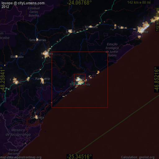
» Earth at Night: Flat Maps 2012, 2016