Registro night lights from space
Night Light of Registro (São Paulo) from space (Brazil) Src. Average luminocity for 10x10km area is 28.5655% and for 50x50km: 2.3654%.
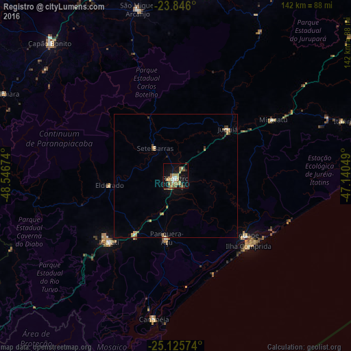
Analysis of Registro night lights 2016
Square area 10x10 km:
 1.98%
1.98%90-99
2.78%80-89
3.37%70-79
7.14%60-69
4.96%50-59
9.13%40-49
0.6%30-39
3.37%20-29
2.78%10-19
26.59%0-9
37.3%Square area 50x50 km:
0.13%90-99
0.13%80-89
0.36%70-79
0.51%60-69
0.4%50-59
0.55%40-49
0.18%30-39
0.36%20-29
0.25%10-19
1.42%0-9
95.72%Clear (daylight) street map image can be seen on geolist.org.
Map coordinates:
23° 50' 45.6" South, 48° 32' 48.3" West
24° 29' 15" South, 47° 50' 37" West
25° 7' 32.7" South, 47° 8' 25.8" West
Some cities around Registro sort by population:
• Capâo Bonito
74.1 km =46 mi,  316°
316°
• Cajati
39.5 km =24.5 mi,  225°
225°
• Iguape
38.1 km =23.7 mi,  130°
130°
• Cananéia
59.2 km =36.8 mi,  188°
188°
• Juquiá
28.1 km =17.5 mi,  48°
48°
• Pariquera Açu
25.6 km =15.9 mi, 188°
• Miracatu
45.1 km =28 mi,  59°
59°
• Jacupiranga
27.9 km =17.3 mi,  215°
215°
3451704 (p: 45,697)
Sources (retrieved 2019-11-25):
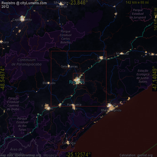
» Earth at Night: Flat Maps 2012, 2016