Estreito night lights from space
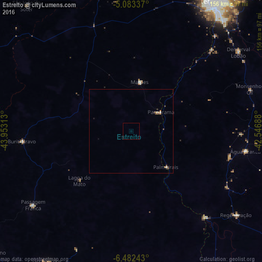
Night Light of Estreito (Maranhão) from space (Brazil) Src. Average luminocity for 10x10km area is 0% and for 50x50km: 0.4695%.
Analysis of Estreito night lights 2016
Square area 10x10 km:
 0%
0%90-99
0%80-89
0%70-79
0%60-69
0%50-59
0%40-49
0%30-39
0%20-29
0%10-19
0%0-9
100%Square area 50x50 km:
0.03%90-99
0.08%80-89
0%70-79
0.13%60-69
0.04%50-59
0.12%40-49
0.11%30-39
0.11%20-29
0.03%10-19
0.07%0-9
99.28%Clear (daylight) street map image can be seen on geolist.org.
Map coordinates:
5° 5' 0.1" South, 43° 57' 11.3" West
5° 46' 60" South, 43° 15' 0" West
6° 28' 56.7" South, 42° 32' 48.8" West
Some cities around Estreito sort by population:
• Buriti Bravo
64.8 km =40.3 mi,  264°
264°
• Demerval Lobão
79.1 km =49.2 mi,  53°
53°
• Água Branca
69 km =42.9 mi,  100°
100°
• Regeneração
79.7 km =49.5 mi,  128°
128°
• Parnarama
20.7 km =12.9 mi,  56°
56°
• Amarante
67.9 km =42.2 mi,  138°
138°
• São Pedro do Piauí
61 km =37.9 mi,  105°
105°
• Passagem Franca
73.7 km =45.8 mi,  233°
233°
3400617 (p: 17,647)
Sources (retrieved 2019-11-25):
» Earth at Night: Flat Maps 2012, 2016