Estância Velha night lights from space
Night Light of Estância Velha (Rio Grande do Sul) from space (Brazil) Src. Average luminocity for 10x10km area is 58.9782% and for 50x50km: 21.8918%.
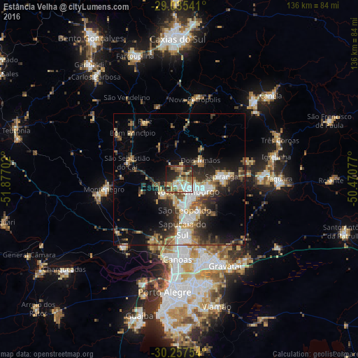
Analysis of Estância Velha night lights 2016
Square area 10x10 km:
 9.92%
9.92%90-99
10.32%80-89
8.53%70-79
9.52%60-69
11.11%50-59
13.89%40-49
5.36%30-39
7.94%20-29
15.67%10-19
7.54%0-9
0.2%Square area 50x50 km:
3.72%90-99
3.09%80-89
2.68%70-79
2.38%60-69
3.06%50-59
3.49%40-49
3.15%30-39
4.47%20-29
6.39%10-19
9.75%0-9
57.82%Clear (daylight) street map image can be seen on geolist.org.
Map coordinates:
29° 2' 7.5" South, 51° 52' 37.3" West
29° 38' 54" South, 51° 10' 26" West
30° 15' 27.1" South, 50° 28' 14.8" West
Some cities around Estância Velha sort by population:
• Novo Hamburgo
5.4 km =3.4 mi,  128°
128°
• São Leopoldo
12.7 km =7.9 mi,  168°
168°
• Sapucaia
20.7 km =12.9 mi, 173°
• Esteio
23.7 km =14.7 mi,  181°
181°
• Sapiranga
16.2 km =10.1 mi,  85°
85°
• Portão
8.9 km =5.5 mi,  227°
227°
• São Sebastião do Caí
20.7 km =12.9 mi,  289°
289°
• Ivoti
6.5 km =4 mi,  11°
11°
3463865 (p: 40,390)
Sources (retrieved 2019-11-25):
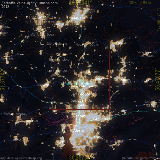
» Earth at Night: Flat Maps 2012, 2016