Sapucaia night lights from space
Night Light of Sapucaia (Rio Grande do Sul) from space (Brazil) Src. Average luminocity for 10x10km area is 79.5238% and for 50x50km: 41.0258%.
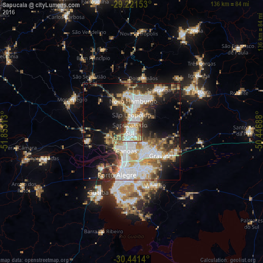
Analysis of Sapucaia night lights 2016
Square area 10x10 km:
 26.19%
90-99
20.24%80-89
10.12%70-79
9.92%60-69
14.48%50-59
5.75%40-49
5.75%30-39
6.35%20-29
1.19%10-19
0%0-9
0%Square area 50x50 km:
11.34%90-99
7.24%80-89
5.34%70-79
5.1%60-69
4.72%50-59
5.23%40-49
4.05%30-39
5.88%20-29
8.77%10-19
10.9%0-9
31.42%Clear (daylight) street map image can be seen on geolist.org.
Map coordinates:
29° 13' 17.5" South, 51° 51' 11.3" West
29° 49' 60" South, 51° 9' 0" West
30° 26' 29" South, 50° 26' 48.8" West
Some cities around Sapucaia sort by population:
• Canoas
9.9 km =6.2 mi,  199°
199°
• Novo Hamburgo
17.3 km =10.7 mi,  6°
6°
• Gravataí
19.4 km =12.1 mi,  128°
128°
• São Leopoldo
8.1 km =5 mi,  1°
1°
• Cachoeirinha
14.2 km =8.8 mi,  157°
157°
• Esteio
4.2 km =2.6 mi,  222°
222°
• Estância Velha
20.7 km =12.9 mi,  353°
353°
• Portão
17.1 km =10.6 mi,  328°
328°
3448031 (p: 130,937)
Sources (retrieved 2019-11-25):
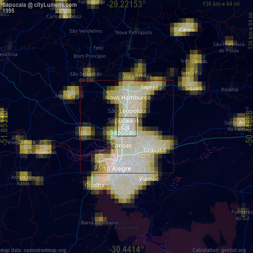
» NASA, Earths city lights 1995
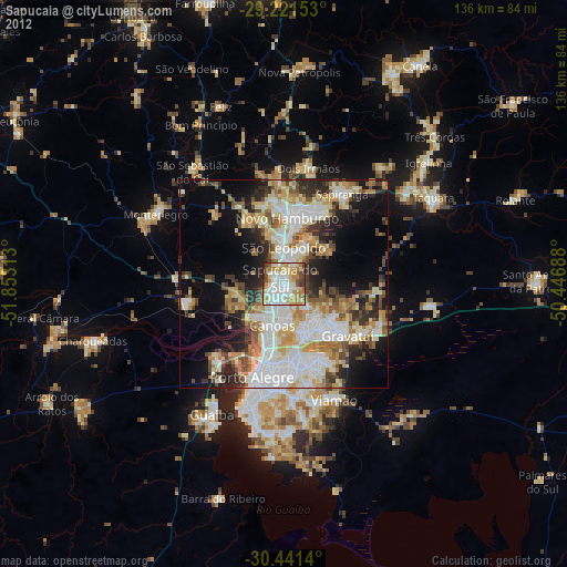
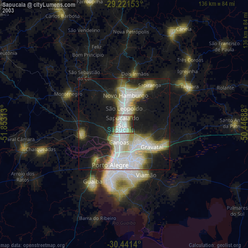
» NASA city lights 2003
» Earth at Night: Flat Maps 2012, 2016