Espírito Santo do Pinhal night lights from space
Night Light of Espírito Santo do Pinhal (São Paulo) from space (Brazil) Src. Average luminocity for 10x10km area is 5.9286% and for 50x50km: 6.3423%.
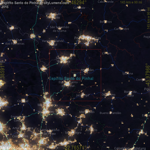
Analysis of Espírito Santo do Pinhal night lights 2016
Square area 10x10 km:
 0%
0%90-99
0.79%80-89
0.99%70-79
1.39%60-69
0.79%50-59
0%40-49
0.79%30-39
0.79%20-29
1.98%10-19
0.6%0-9
91.87%Square area 50x50 km:
0.47%90-99
0.78%80-89
0.74%70-79
1.04%60-69
1.03%50-59
0.62%40-49
0.84%30-39
0.93%20-29
1.19%10-19
4.79%0-9
87.58%Clear (daylight) street map image can be seen on geolist.org.
Map coordinates:
21° 27' 46.6" South, 47° 23' 9.3" West
22° 6' 57" South, 46° 40' 58" West
22° 45' 56.6" South, 45° 58' 46.8" West
Some cities around Espírito Santo do Pinhal sort by population:
• Poços de Caldas
38.6 km =24 mi,  18°
18°
• São João da Boa Vista
20.2 km =12.6 mi,  323°
323°
• Itapira
38.4 km =23.9 mi,  201°
201°
• Vargem Grande do Sul
38.3 km =23.8 mi,  325°
325°
• Aguaí
31.1 km =19.3 mi,  281°
281°
• Andradas
12.9 km =8 mi,  65°
65°
• Jacutinga
20.2 km =12.6 mi,  158°
158°
• Monte Sião
37 km =23 mi, 162°
3453807 (p: 37,448)
Sources (retrieved 2019-11-25):
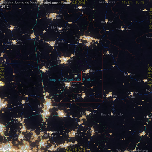
» Earth at Night: Flat Maps 2012, 2016