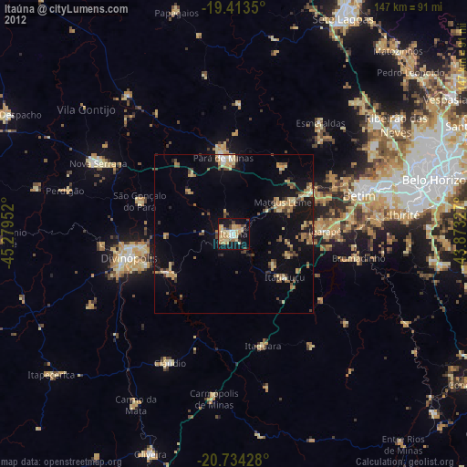
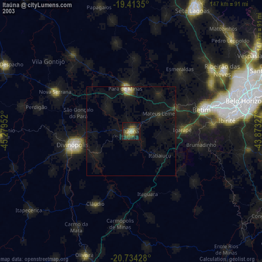
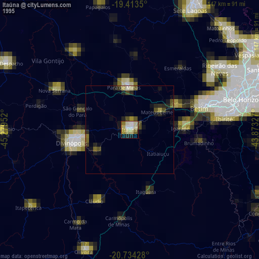
Itaúna night lights from space
Night Light of Itaúna (Minas Gerais) from space (Brazil) Src. Average luminocity for 10x10km area is 40.4067% and for 50x50km: 9.7387%.

Analysis of Itaúna night lights 2016
Square area 10x10 km:
 1.79%
1.79%90-99
4.96%80-89
7.54%70-79
13.29%60-69
8.33%50-59
1.39%40-49
5.16%30-39
7.74%20-29
3.97%10-19
35.52%0-9
10.32%Square area 50x50 km:
0.27%90-99
0.6%80-89
0.67%70-79
2.88%60-69
1.96%50-59
0.79%40-49
1.76%30-39
1.51%20-29
1.41%10-19
9.59%0-9
78.55%Clear (daylight) street map image can be seen on geolist.org.
Map coordinates:
19° 24' 48.6" South, 45° 16' 46.3" West
20° 4' 31" South, 44° 34' 35" West
20° 44' 3.4" South, 43° 52' 23.8" West
Some cities around Itaúna sort by population:
• Divinópolis
33.7 km =20.9 mi,  256°
256°
• Pará de Minas
24.1 km =15 mi,  352°
352°
• Brumadinho
40 km =24.9 mi,  100°
100°
• Mateus Leme
18.4 km =11.4 mi,  57°
57°
• Juatuba
28 km =17.4 mi, 60°
• Igarapé
28.7 km =17.8 mi,  88°
88°
• Carmo do Cajuru
23.7 km =14.7 mi,  239°
239°
• São Joaquim de Bicas
31.7 km =19.7 mi,  84°
84°
3460584 (p: 77,400)
Sources (retrieved 2019-11-25):
» NASA, Earths city lights 1995
» NASA city lights 2003
» Earth at Night: Flat Maps 2012, 2016