Mateus Leme night lights from space
Night Light of Mateus Leme (Minas Gerais) from space (Brazil) Src. Average luminocity for 10x10km area is 28.8194% and for 50x50km: 18.78%.
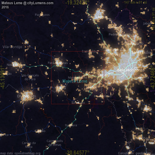
Analysis of Mateus Leme night lights 2016
Square area 10x10 km:
 0%
0%90-99
0%80-89
1.39%70-79
12.1%60-69
9.13%50-59
0.6%40-49
6.35%30-39
6.35%20-29
2.98%10-19
36.51%0-9
24.6%Square area 50x50 km:
0.87%90-99
1.15%80-89
1.31%70-79
5.4%60-69
4.55%50-59
1.76%40-49
3.83%30-39
3.67%20-29
4.59%10-19
14.81%0-9
58.06%Clear (daylight) street map image can be seen on geolist.org.
Map coordinates:
19° 19' 27.3" South, 45° 7' 51.3" West
19° 59' 11" South, 44° 25' 40" West
20° 38' 44.8" South, 43° 43' 28.8" West
Some cities around Mateus Leme sort by population:
• Betim
24.1 km =15 mi,  85°
85°
• Esmeraldas
27.6 km =17.1 mi,  25°
25°
• Itaúna
18.4 km =11.4 mi,  237°
237°
• Pará de Minas
23.5 km =14.6 mi,  306°
306°
• Brumadinho
29.5 km =18.3 mi,  126°
126°
• Juatuba
9.7 km =6 mi,  66°
66°
• Igarapé
16.1 km =10 mi, 125°
• São Joaquim de Bicas
17.5 km =10.9 mi,  113°
113°
3457484 (p: 24,890)
Sources (retrieved 2019-11-25):
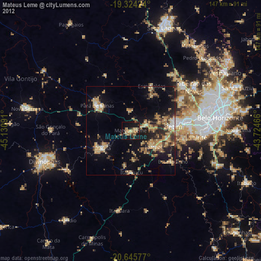
» Earth at Night: Flat Maps 2012, 2016