Nobres night lights from space
Night Light of Nobres (Mato Grosso) from space (Brazil) Src. Average luminocity for 10x10km area is 14.3347% and for 50x50km: 1.3576%.
Analysis of Nobres night lights 2016
Square area 10x10 km:
 0%
0%90-99
0.21%80-89
3.72%70-79
3.51%60-69
2.48%50-59
0%40-49
5.79%30-39
2.89%20-29
1.03%10-19
0.62%0-9
79.75%Square area 50x50 km:
0.02%90-99
0.02%80-89
0.25%70-79
0.32%60-69
0.35%50-59
0.13%40-49
0.45%30-39
0.19%20-29
0.11%10-19
0.04%0-9
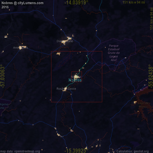
98.12%Clear (daylight) street map image can be seen on geolist.org.
Map coordinates:
14° 2' 21.1" South, 57° 1' 50.3" West
14° 43' 13" South, 56° 19' 39" West
15° 23' 57.3" South, 55° 37' 27.8" West
Some cities around Nobres sort by population:
• Cuiabá
100.5 km =62.4 mi,  165°
165°
• Barra do Bugres
99.7 km =62 mi,  246°
246°
• Nova Olímpia
103.6 km =64.4 mi,  265°
265°
• Diamantino
36.9 km =22.9 mi,  339°
339°
• Chapada dos Guimarães
103.1 km =64.1 mi,  142°
142°
• Rosário Oeste
16.8 km =10.4 mi,  219°
219°
• Nortelândia
59.1 km =36.7 mi,  300°
300°
• Arenápolis
63.4 km =39.4 mi, 298°
3456277 (p: 12,009)
Sources (retrieved 2019-11-25):
» Earth at Night: Flat Maps 2012, 2016