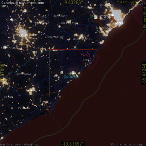
Coruripe night lights from space
Night Light of Coruripe (Alagoas) from space (Brazil) Src. Average luminocity for 10x10km area is 29.626% and for 50x50km: 3.7494%.
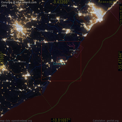
Analysis of Coruripe night lights 2016
Square area 10x10 km:
 2.27%
2.27%90-99
7.64%80-89
2.48%70-79
2.69%60-69
6.82%50-59
4.13%40-49
2.69%30-39
3.1%20-29
6.4%10-19
30.79%0-9
30.99%Square area 50x50 km:
0.17%90-99
0.69%80-89
0.39%70-79
0.29%60-69
0.56%50-59
0.68%40-49
0.72%30-39
0.57%20-29
0.58%10-19
1.89%0-9
93.48%Clear (daylight) street map image can be seen on geolist.org.
Map coordinates:
9° 25' 57.6" South, 36° 52' 43.3" West
10° 7' 32" South, 36° 10' 32" West
10° 49' 1.1" South, 35° 28' 20.8" West
Some cities around Coruripe sort by population:
• Penedo
48.5 km =30.1 mi,  247°
247°
• São Miguel dos Campos
39.3 km =24.4 mi,  13°
13°
• Campo Alegre
42.8 km =26.6 mi,  333°
333°
• Neópolis
49.2 km =30.6 mi,  243°
243°
• Piaçabuçu
42.1 km =26.2 mi,  222°
222°
• Anadia
51 km =31.7 mi,  343°
343°
• São Sebastião
46.6 km =29 mi,  297°
297°
• Junqueiro
39.7 km =24.7 mi, 304°
3465329 (p: 31,427)
Sources (retrieved 2019-11-25):
» Earth at Night: Flat Maps 2012, 2016