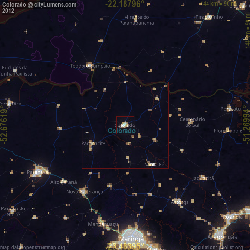
Colorado night lights from space
Night Light of Colorado (Paraná) from space (Brazil) Src. Average luminocity for 10x10km area is 14.8075% and for 50x50km: 2.8821%.
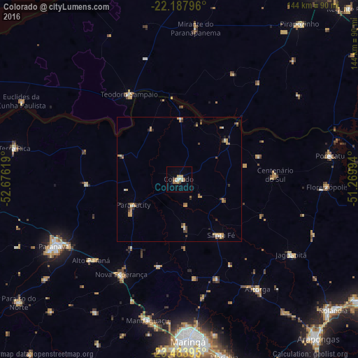
Analysis of Colorado night lights 2016
Square area 10x10 km:
 1.59%
1.59%90-99
2.78%80-89
1.19%70-79
2.38%60-69
3.37%50-59
2.18%40-49
1.39%30-39
0.2%20-29
0%10-19
1.39%0-9
83.53%Square area 50x50 km:
0.22%90-99
0.31%80-89
0.36%70-79
0.84%60-69
0.49%50-59
0.21%40-49
0.42%30-39
0.44%20-29
0.33%10-19
0.1%0-9
96.27%Clear (daylight) street map image can be seen on geolist.org.
Map coordinates:
22° 11' 16.7" South, 52° 40' 34.3" West
22° 50' 15" South, 51° 58' 23" West
23° 29' 2.2" South, 51° 16' 11.8" West
Some cities around Colorado sort by population:
• Paranavaí
56.8 km =35.3 mi,  242°
242°
• Astorga
54 km =33.6 mi,  144°
144°
• Teodoro Sampaio
39.3 km =24.4 mi,  329°
329°
• Mandaguaçu
58 km =36 mi,  192°
192°
• Florestópolis
60.1 km =37.3 mi,  92°
92°
• Alto Paraná
48 km =29.8 mi,  227°
227°
• Nova Aurora
60.9 km =37.8 mi,  266°
266°
• Centenário do Sul
38.8 km =24.1 mi, 87°
3465881 (p: 20,449)
Sources (retrieved 2019-11-25):
» Earth at Night: Flat Maps 2012, 2016