Ceará Mirim night lights from space
Night Light of Ceará Mirim (Rio Grande do Norte) from space (Brazil) Src. Average luminocity for 10x10km area is 33.2479% and for 50x50km: 18.5351%.
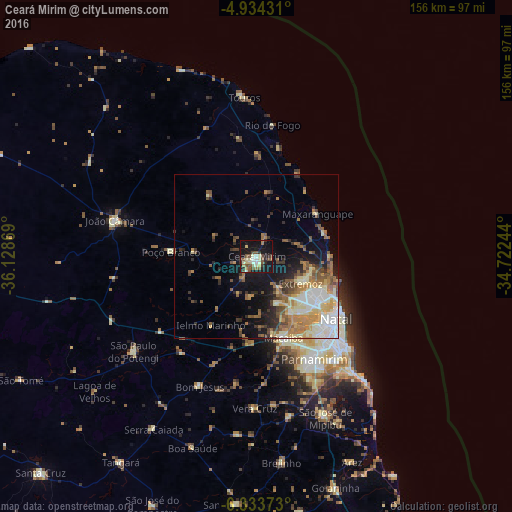
Analysis of Ceará Mirim night lights 2016
Square area 10x10 km:
 2.27%
2.27%90-99
6.82%80-89
4.75%70-79
2.27%60-69
2.69%50-59
9.5%40-49
6.4%30-39
4.55%20-29
3.72%10-19
42.77%0-9
14.26%Square area 50x50 km:
2.67%90-99
3.43%80-89
2.93%70-79
2.02%60-69
3.52%50-59
3.19%40-49
2.63%30-39
2.07%20-29
2.67%10-19
8.18%0-9
66.69%Clear (daylight) street map image can be seen on geolist.org.
Map coordinates:
4° 56' 3.5" South, 36° 7' 43.3" West
5° 38' 4" South, 35° 25' 32" West
6° 20' 1.4" South, 34° 43' 20.8" West
Some cities around Ceará Mirim sort by population:
• Natal
29.8 km =18.5 mi,  126°
126°
• Parnamirim
36.1 km =22.4 mi,  150°
150°
• Macaíba
26.1 km =16.2 mi,  162°
162°
• João Câmara
44.9 km =27.9 mi,  283°
283°
• Extremoz
15.3 km =9.5 mi,  121°
121°
• São Miguel
19.8 km =12.3 mi,  19°
19°
• São Gonçalo do Amarante
20.6 km =12.8 mi, 148°
• Poço Branco
26.3 km =16.3 mi,  272°
272°
3402360 (p: 32,667)
Sources (retrieved 2019-11-25):
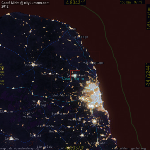
» Earth at Night: Flat Maps 2012, 2016