Castanhal night lights from space
Night Light of Castanhal (Pará) from space (Brazil) Src. Average luminocity for 10x10km area is 66.8377% and for 50x50km: 6.7735%.
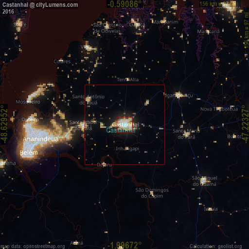

Analysis of Castanhal night lights 2016
Square area 10x10 km:
 11.04%
90-99
18.18%80-89
16.02%70-79
13.64%60-69
3.46%50-59
6.06%40-49
4.11%30-39
8.01%20-29
14.5%10-19
4.98%0-9
0%Square area 50x50 km:
0.46%90-99
0.76%80-89
1.4%70-79
0.91%60-69
0.48%50-59
1.16%40-49
0.93%30-39
1.26%20-29
1.8%10-19
5.12%0-9
85.71%Clear (daylight) street map image can be seen on geolist.org.
Map coordinates:
0° 35' 27.1" South, 48° 37' 46.3" West
1° 17' 38" South, 47° 55' 35" West
1° 59' 48.2" South, 47° 13' 23.8" West
Some cities around Castanhal sort by population:
• Ananindeua
50.2 km =31.2 mi,  260°
260°
• Benevides
36.2 km =22.5 mi, 258°
• Vigia
54 km =33.6 mi,  333°
333°
• Igarapé Açu
38.7 km =24 mi,  61°
61°
• Santa Maria do Pará
39.5 km =24.5 mi,  99°
99°
• Santo Antônio do Tauá
27.5 km =17.1 mi,  304°
304°
• São Caetano de Odivelas
61.4 km =38.2 mi,  350°
350°
• Bujaru
27.9 km =17.3 mi,  208°
208°
3402591 (p: 137,406)
Sources (retrieved 2019-11-25):
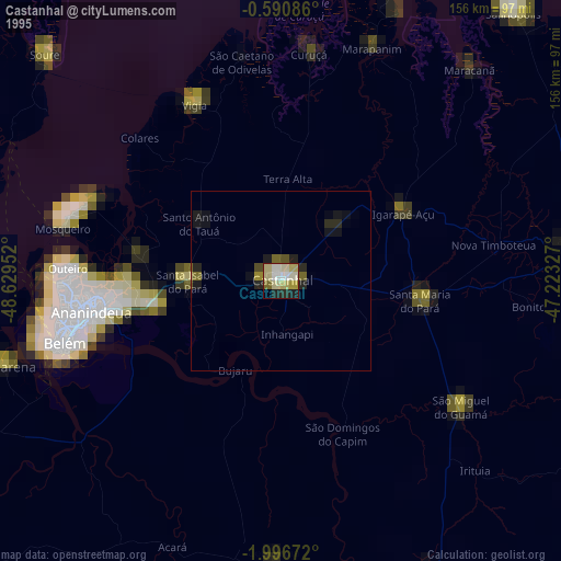
» NASA, Earths city lights 1995
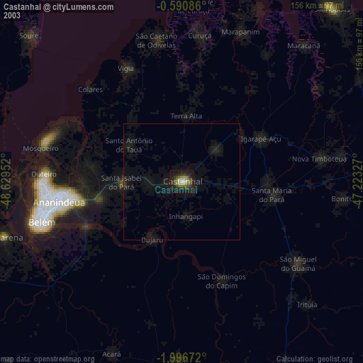
» NASA city lights 2003
» Earth at Night: Flat Maps 2012, 2016