Benevides night lights from space
Night Light of Benevides (Pará) from space (Brazil) Src. Average luminocity for 10x10km area is 49.9697% and for 50x50km: 21.1144%.
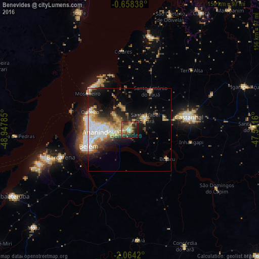
Analysis of Benevides night lights 2016
Square area 10x10 km:
 1.52%
1.52%90-99
4.33%80-89
13.2%70-79
14.94%60-69
4.11%50-59
8.01%40-49
15.37%30-39
8.01%20-29
12.34%10-19
15.15%0-9
3.03%Square area 50x50 km:
4.04%90-99
3.11%80-89
3.52%70-79
3.68%60-69
1.69%50-59
2.88%40-49
2.88%30-39
2.65%20-29
4.43%10-19
9.74%0-9
61.39%Clear (daylight) street map image can be seen on geolist.org.
Map coordinates:
0° 39' 30.2" South, 48° 56' 52.3" West
1° 21' 41" South, 48° 14' 41" West
2° 3' 51.1" South, 47° 32' 29.8" West
Some cities around Benevides sort by population:
• Belém
30.7 km =19.1 mi,  250°
250°
• Ananindeua
14.2 km =8.8 mi,  268°
268°
• Castanhal
36.2 km =22.5 mi,  78°
78°
• Barcarena
45.3 km =28.1 mi, 249°
• Vigia
57.1 km =35.5 mi,  11°
11°
• Acará
66.9 km =41.6 mi,  175°
175°
• Santo Antônio do Tauá
26.6 km =16.5 mi,  28°
28°
• Bujaru
28 km =17.4 mi,  127°
127°
3405792 (p: 49,794)
Sources (retrieved 2019-11-25):
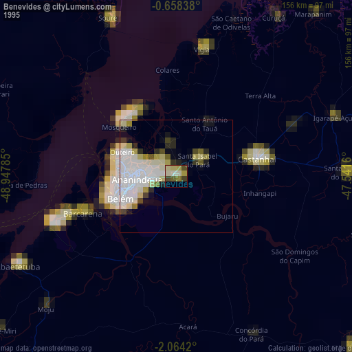
» NASA, Earths city lights 1995
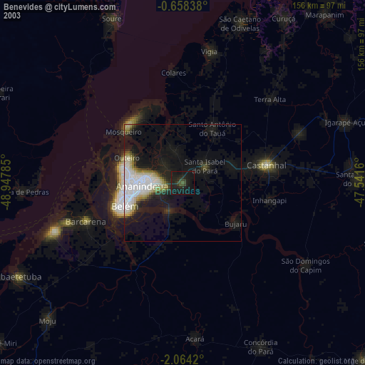
» NASA city lights 2003
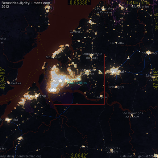
» Earth at Night: Flat Maps 2012, 2016