Carutapera night lights from space
Night Light of Carutapera (Maranhão) from space (Brazil) Src. Average luminocity for 10x10km area is 6.3918% and for 50x50km: 0.8245%.
Analysis of Carutapera night lights 2016
Square area 10x10 km:
 0%
0%90-99
2.6%80-89
0.87%70-79
0%60-69
0.87%50-59
1.08%40-49
2.38%30-39
0%20-29
0%10-19
0%0-9
92.21%Square area 50x50 km:
0%90-99
0.16%80-89
0.17%70-79
0.04%60-69
0.1%50-59
0.15%40-49
0.37%30-39
0.06%20-29
0.08%10-19
0%0-9
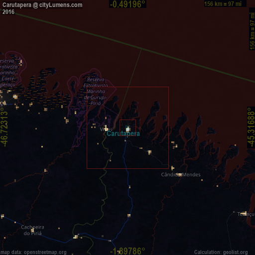
98.86%Clear (daylight) street map image can be seen on geolist.org.
Map coordinates:
0° 29' 31.1" South, 46° 43' 23.3" West
1° 11' 42" South, 46° 1' 12" West
1° 53' 52.3" South, 45° 19' 0.8" West
Some cities around Carutapera sort by population:
• Bragança
84.4 km =52.4 mi,  280°
280°
• Capanema
129 km =80.2 mi,  269°
269°
• Viseu
13.3 km =8.3 mi, 269°
• Augusto Corrêa
71 km =44.1 mi,  285°
285°
• Maracaçumé
94.5 km =58.7 mi,  175°
175°
• Turiaçu
88.9 km =55.2 mi,  125°
125°
• Cândido Mendes
43.8 km =27.2 mi, 129°
• Ourém
128 km =79.5 mi,  251°
251°
3402648 (p: 12,819)
Sources (retrieved 2019-11-25):
» Earth at Night: Flat Maps 2012, 2016