Bom Despacho night lights from space
Night Light of Bom Despacho (Minas Gerais) from space (Brazil) Src. Average luminocity for 10x10km area is 29.4194% and for 50x50km: 2.7942%.
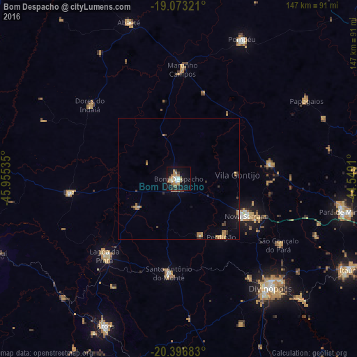
Analysis of Bom Despacho night lights 2016
Square area 10x10 km:
 1.86%
1.86%90-99
5.79%80-89
3.1%70-79
6.82%60-69
5.99%50-59
4.55%40-49
1.65%30-39
3.1%20-29
2.07%10-19
27.27%0-9
37.81%Square area 50x50 km:
0.08%90-99
0.28%80-89
0.19%70-79
0.93%60-69
0.5%50-59
0.27%40-49
0.32%30-39
0.43%20-29
0.29%10-19
2.01%0-9
94.7%Clear (daylight) street map image can be seen on geolist.org.
Map coordinates:
19° 4' 23.6" South, 45° 57' 19.3" West
19° 44' 11" South, 45° 15' 8" West
20° 23' 48.6" South, 44° 32' 56.8" West
Some cities around Bom Despacho sort by population:
• Divinópolis
59 km =36.7 mi,  140°
140°
• Lagoa da Prata
44 km =27.3 mi,  223°
223°
• Santo Antônio do Monte
39.2 km =24.4 mi,  186°
186°
• Pitangui
38.4 km =23.9 mi,  81°
81°
• Luz
45.9 km =28.5 mi,  260°
260°
• Dores do Indaiá
47.6 km =29.6 mi,  309°
309°
• Papagaios
61.7 km =38.3 mi,  58°
58°
• Martinho Campos
45 km =28 mi,  2°
2°
3469516 (p: 40,303)
Sources (retrieved 2019-11-25):
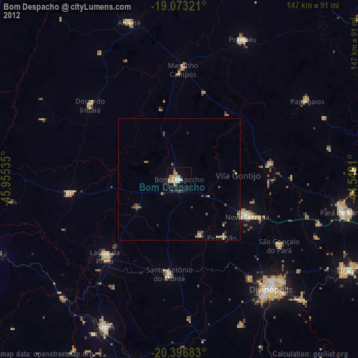
» Earth at Night: Flat Maps 2012, 2016