Betim night lights from space
Night Light of Betim (Minas Gerais) from space (Brazil) Src. Average luminocity for 10x10km area is 79.658% and for 50x50km: 42.8745%.
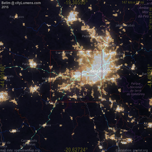
Analysis of Betim night lights 2016
Square area 10x10 km:
 24.46%
90-99
13.85%80-89
8.01%70-79
25.97%60-69
11.9%50-59
8.23%40-49
5.84%30-39
1.73%20-29
0%10-19
0%0-9
0%Square area 50x50 km:
10.46%90-99
5.66%80-89
3.25%70-79
10.53%60-69
7.98%50-59
4.8%40-49
5.34%30-39
4.4%20-29
6.57%10-19
13.88%0-9
27.14%Clear (daylight) street map image can be seen on geolist.org.
Map coordinates:
19° 18' 20" South, 44° 54' 5.3" West
19° 58' 4" South, 44° 11' 54" West
20° 37' 38.1" South, 43° 29' 42.8" West
Some cities around Betim sort by population:
• Contagem
15.6 km =9.7 mi,  75°
75°
• Ibirité
15.8 km =9.8 mi,  112°
112°
• Brumadinho
19.5 km =12.1 mi,  180°
180°
• Mateus Leme
24.1 km =15 mi,  265°
265°
• Juatuba
15.2 km =9.4 mi,  276°
276°
• Igarapé
15.7 km =9.8 mi,  223°
223°
• Sarzedo
9.4 km =5.8 mi,  143°
143°
• São Joaquim de Bicas
12 km =7.5 mi, 221°
3470044 (p: 384,000)
Sources (retrieved 2019-11-25):
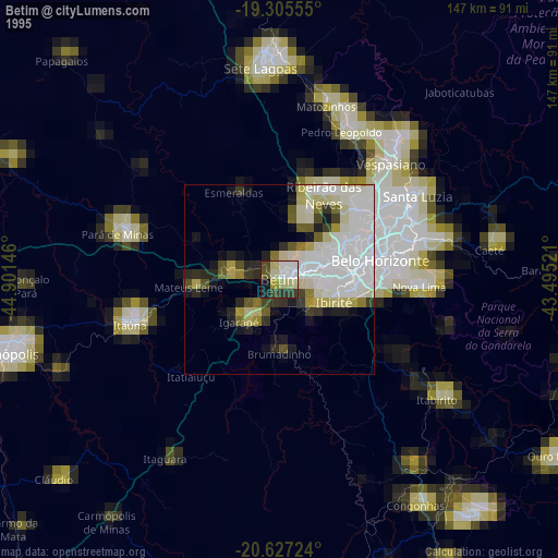
» NASA, Earths city lights 1995
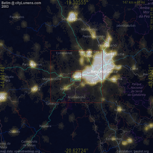
» NASA city lights 2003
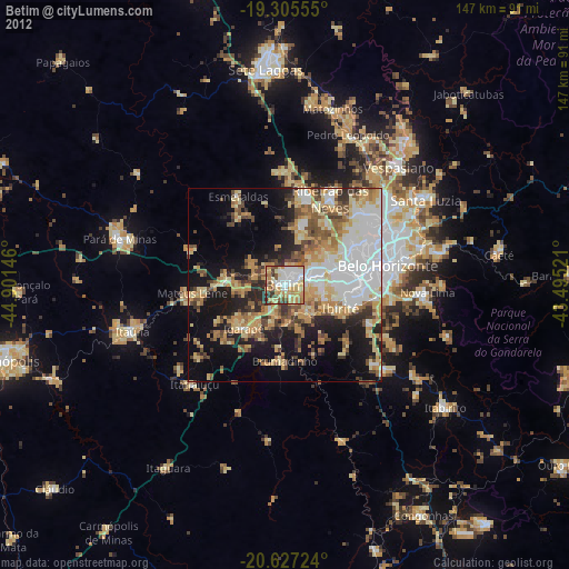
» Earth at Night: Flat Maps 2012, 2016