Barcarena night lights from space
Night Light of Barcarena (Pará) from space (Brazil) Src. Average luminocity for 10x10km area is 33.8268% and for 50x50km: 16.465%.
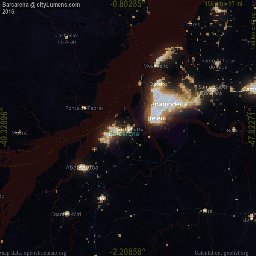
Analysis of Barcarena night lights 2016
Square area 10x10 km:
 1.95%
1.95%90-99
3.9%80-89
7.14%70-79
5.19%60-69
2.38%50-59
9.74%40-49
5.19%30-39
4.33%20-29
11.47%10-19
27.71%0-9
21%Square area 50x50 km:
4.4%90-99
3.11%80-89
1.81%70-79
1.74%60-69
1.16%50-59
2.17%40-49
2.33%30-39
1.9%20-29
3.05%10-19
7.91%0-9
70.42%Clear (daylight) street map image can be seen on geolist.org.
Map coordinates:
0° 48' 10.3" South, 49° 19' 44.3" West
1° 30' 21" South, 48° 37' 33" West
2° 12' 30.9" South, 47° 55' 21.8" West
Some cities around Barcarena sort by population:
• Belém
14.6 km =9.1 mi,  67°
67°
• Ananindeua
32.2 km =20 mi,  61°
61°
• Abaetetuba
37 km =23 mi,  230°
230°
• Benevides
45.3 km =28.1 mi, 69°
• Igarapé Miri
64 km =39.8 mi,  215°
215°
• Moju
44.9 km =27.9 mi,  200°
200°
• Muaná
65.7 km =40.8 mi,  267°
267°
• Bujaru
64.6 km =40.1 mi,  90°
90°
3406429 (p: 29,871)
Sources (retrieved 2019-11-25):
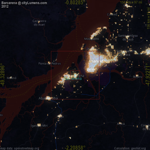
» Earth at Night: Flat Maps 2012, 2016