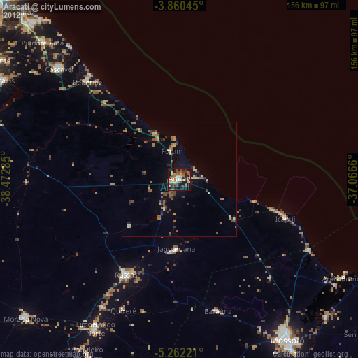
Aracati night lights from space
Night Light of Aracati (Ceará) from space (Brazil) Src. Average luminocity for 10x10km area is 43.7707% and for 50x50km: 7.0922%.
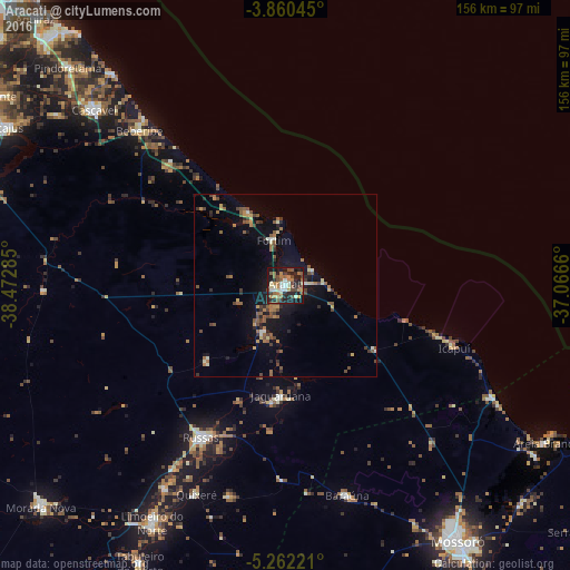
Analysis of Aracati night lights 2016
Square area 10x10 km:
 2.69%
2.69%90-99
9.3%80-89
5.17%70-79
3.1%60-69
10.12%50-59
10.12%40-49
10.33%30-39
3.51%20-29
13.84%10-19
30.79%0-9
1.03%Square area 50x50 km:
0.18%90-99
0.78%80-89
0.72%70-79
0.68%60-69
1.38%50-59
1.72%40-49
1.65%30-39
0.81%20-29
1.48%10-19
5.37%0-9
85.23%Clear (daylight) street map image can be seen on geolist.org.
Map coordinates:
3° 51' 37.6" South, 38° 28' 22.3" West
4° 33' 42" South, 37° 46' 11" West
5° 15' 44" South, 37° 3' 59.8" West
Some cities around Aracati sort by population:
• Cascavel
70.8 km =44 mi,  312°
312°
• Russas
47.9 km =29.8 mi,  208°
208°
• Beberibe
58.3 km =36.2 mi,  316°
316°
• Limoeiro do Norte
74.4 km =46.2 mi, 209°
• Jaguaruana
30.3 km =18.8 mi,  182°
182°
• Areia Branca
82.7 km =51.4 mi,  122°
122°
• Baraúna
60.1 km =37.3 mi,  163°
163°
• Quixeré
61.9 km =38.5 mi,  203°
203°
3407378 (p: 44,293)
Sources (retrieved 2019-11-25):
» Earth at Night: Flat Maps 2012, 2016