Jaguaruana night lights from space
Night Light of Jaguaruana (Ceará) from space (Brazil) Src. Average luminocity for 10x10km area is 20.4897% and for 50x50km: 6.7088%.
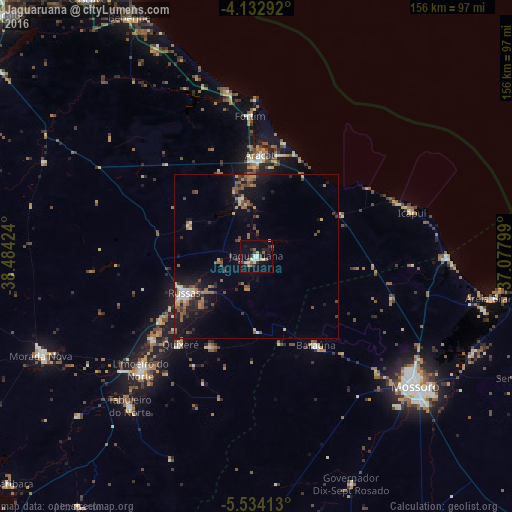
Analysis of Jaguaruana night lights 2016
Square area 10x10 km:
 0.83%
0.83%90-99
4.34%80-89
2.27%70-79
2.48%60-69
1.86%50-59
3.1%40-49
2.27%30-39
3.93%20-29
4.96%10-19
12.4%0-9
61.57%Square area 50x50 km:
0.32%90-99
0.75%80-89
0.64%70-79
0.59%60-69
1.19%50-59
1.54%40-49
1.23%30-39
1.05%20-29
1.71%10-19
5.19%0-9
85.78%Clear (daylight) street map image can be seen on geolist.org.
Map coordinates:
4° 7' 58.5" South, 38° 29' 3.3" West
4° 50' 2" South, 37° 46' 52" West
5° 32' 2.9" South, 37° 4' 40.8" West
Some cities around Jaguaruana sort by population:
• Mossoró
62.4 km =38.8 mi,  129°
129°
• Aracati
30.3 km =18.8 mi,  2°
2°
• Russas
24.6 km =15.3 mi,  241°
241°
• Morada Nova
72.2 km =44.9 mi,  245°
245°
• Limoeiro do Norte
49.3 km =30.6 mi,  225°
225°
• Areia Branca
72.6 km =45.1 mi,  100°
100°
• Baraúna
32.9 km =20.4 mi,  146°
146°
• Quixeré
35.2 km =21.9 mi,  220°
220°
3397665 (p: 21,790)
Sources (retrieved 2019-11-25):
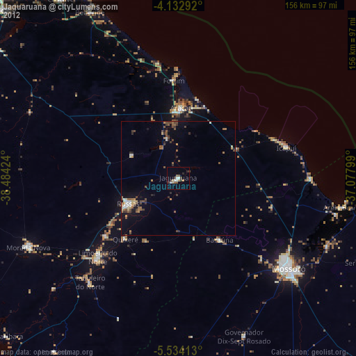
» Earth at Night: Flat Maps 2012, 2016