Limoeiro do Norte night lights from space
Night Light of Limoeiro do Norte (Ceará) from space (Brazil) Src. Average luminocity for 10x10km area is 43.7665% and for 50x50km: 9.4977%.
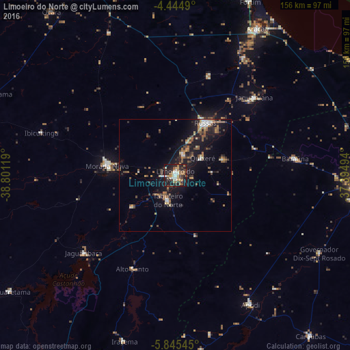
Analysis of Limoeiro do Norte night lights 2016
Square area 10x10 km:
 4.96%
4.96%90-99
7.85%80-89
2.27%70-79
8.47%60-69
8.88%50-59
6.4%40-49
7.44%30-39
5.17%20-29
15.7%10-19
31.61%0-9
1.24%Square area 50x50 km:
0.7%90-99
1.05%80-89
0.85%70-79
1.01%60-69
1.59%50-59
2.11%40-49
1.35%30-39
1.33%20-29
2.74%10-19
9.41%0-9
77.85%Clear (daylight) street map image can be seen on geolist.org.
Map coordinates:
4° 26' 41.6" South, 38° 48' 4.3" West
5° 8' 44" South, 38° 5' 53" West
5° 50' 43.6" South, 37° 23' 41.8" West
Some cities around Limoeiro do Norte sort by population:
• Aracati
74.4 km =46.2 mi,  29°
29°
• Russas
26.5 km =16.5 mi, 30°
• Morada Nova
30.7 km =19.1 mi,  278°
278°
• Jaguaruana
49.3 km =30.6 mi,  45°
45°
• Apodi
66.5 km =41.3 mi,  150°
150°
• Baraúna
53.8 km =33.4 mi,  82°
82°
• Quixeré
14.5 km =9 mi,  56°
56°
• Governador Dix Sept Rosado
72.8 km =45.2 mi,  118°
118°
3396266 (p: 29,449)
Sources (retrieved 2019-11-25):
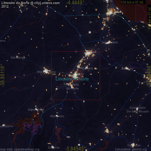
» Earth at Night: Flat Maps 2012, 2016