Angra dos Reis night lights from space
Night Light of Angra dos Reis (Rio de Janeiro) from space (Brazil) Src. Average luminocity for 10x10km area is 29.2579% and for 50x50km: 4.3499%.
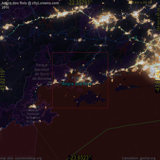
Analysis of Angra dos Reis night lights 2016
Square area 10x10 km:
 2.58%
2.58%90-99
1.39%80-89
1.79%70-79
6.55%60-69
6.15%50-59
8.53%40-49
4.56%30-39
3.17%20-29
6.15%10-19
31.75%0-9
27.38%Square area 50x50 km:
0.14%90-99
0.14%80-89
0.5%70-79
0.7%60-69
0.89%50-59
0.95%40-49
0.97%30-39
0.81%20-29
0.65%10-19
3.22%0-9
91.04%Clear (daylight) street map image can be seen on geolist.org.
Map coordinates:
22° 21' 28.5" South, 45° 1' 16.3" West
23° 0' 24" South, 44° 19' 5" West
23° 39' 8.3" South, 43° 36' 53.8" West
Some cities around Angra dos Reis sort by population:
• Volta Redonda
58.1 km =36.1 mi,  22°
22°
• Barra Mansa
53.6 km =33.3 mi, 16°
• Resende
61.2 km =38 mi,  347°
347°
• Itaguaí
58.2 km =36.2 mi,  72°
72°
• Mangaratiba
28.9 km =18 mi,  79°
79°
• Piraí
60.1 km =37.3 mi,  45°
45°
• Paraty
46.7 km =29 mi,  239°
239°
• Rio Claro
36.7 km =22.8 mi,  30°
30°
3472177 (p: 153,635)
Sources (retrieved 2019-11-25):
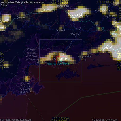
» NASA, Earths city lights 1995
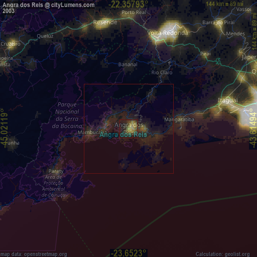
» NASA city lights 2003
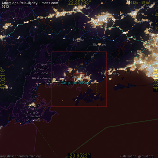
» Earth at Night: Flat Maps 2012, 2016