Mangaratiba night lights from space
Night Light of Mangaratiba (Rio de Janeiro) from space (Brazil) Src. Average luminocity for 10x10km area is 21.2917% and for 50x50km: 5.5102%.
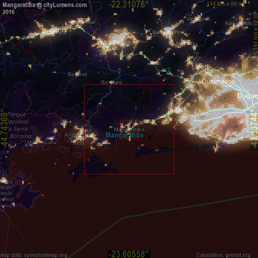
Analysis of Mangaratiba night lights 2016
Square area 10x10 km:
 1.19%
1.19%90-99
0.4%80-89
0.79%70-79
2.18%60-69
5.36%50-59
6.35%40-49
5.36%30-39
9.13%20-29
1.98%10-19
7.54%0-9
59.72%Square area 50x50 km:
0.13%90-99
0.25%80-89
0.55%70-79
0.85%60-69
1.28%50-59
0.94%40-49
1.05%30-39
1.35%20-29
1.24%10-19
4.7%0-9
87.67%Clear (daylight) street map image can be seen on geolist.org.
Map coordinates:
22° 18' 38.7" South, 44° 44' 37.3" West
22° 57' 35" South, 44° 2' 26" West
23° 36' 20.1" South, 43° 20' 14.8" West
Some cities around Mangaratiba sort by population:
• Volta Redonda
49 km =30.4 mi,  352°
352°
• Barra Mansa
48.1 km =29.9 mi,  343°
343°
• Angra dos Reis
28.9 km =18 mi,  259°
259°
• Itaguaí
29.7 km =18.5 mi,  66°
66°
• Seropédica
41.7 km =25.9 mi,  54°
54°
• Pinheiral
49.9 km =31 mi,  4°
4°
• Piraí
39.5 km =24.5 mi,  21°
21°
• Rio Claro
28.1 km =17.5 mi, 339°
3457991 (p: 27,022)
Sources (retrieved 2019-11-25):
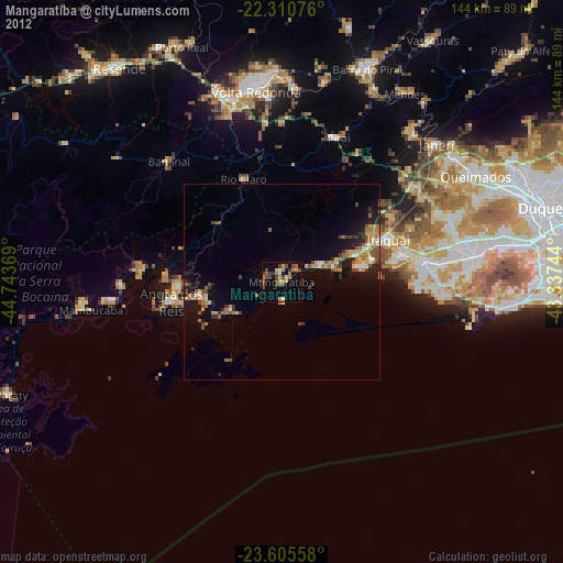
» Earth at Night: Flat Maps 2012, 2016