Itaguaí night lights from space
Night Light of Itaguaí (Rio de Janeiro) from space (Brazil) Src. Average luminocity for 10x10km area is 59.1528% and for 50x50km: 32.012%.
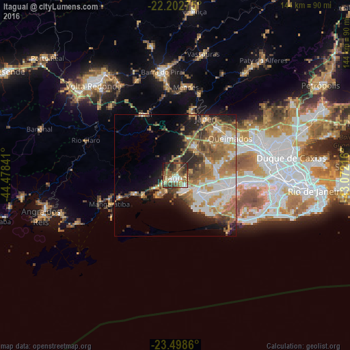

Analysis of Itaguaí night lights 2016
Square area 10x10 km:
 6.15%
6.15%90-99
10.91%80-89
7.34%70-79
6.35%60-69
17.66%50-59
16.47%40-49
7.94%30-39
11.9%20-29
11.71%10-19
3.57%0-9
0%Square area 50x50 km:
5.61%90-99
6.07%80-89
2.68%70-79
5.34%60-69
8.03%50-59
5.33%40-49
3.79%30-39
3.52%20-29
5.77%10-19
7.54%0-9
46.31%Clear (daylight) street map image can be seen on geolist.org.
Map coordinates:
22° 12' 9.9" South, 44° 28' 42.3" West
22° 51' 8" South, 43° 46' 31" West
23° 29' 55" South, 43° 4' 19.8" West
Some cities around Itaguaí sort by population:
• Nova Iguaçu
34.8 km =21.6 mi,  72°
72°
• Queimados
27.2 km =16.9 mi,  56°
56°
• Japeri
26.4 km =16.4 mi,  28°
28°
• Seropédica
13.9 km =8.6 mi, 29°
• Paracambi
28 km =17.4 mi,  14°
14°
• Mangaratiba
29.7 km =18.5 mi,  246°
246°
• Piraí
27.8 km =17.3 mi,  333°
333°
• Mendes
36.5 km =22.7 mi, 6°
3460899 (p: 100,752)
Sources (retrieved 2019-11-25):
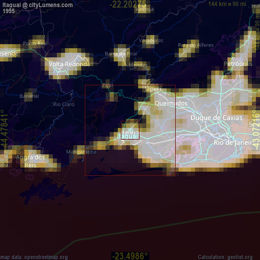
» NASA, Earths city lights 1995
» NASA city lights 2003
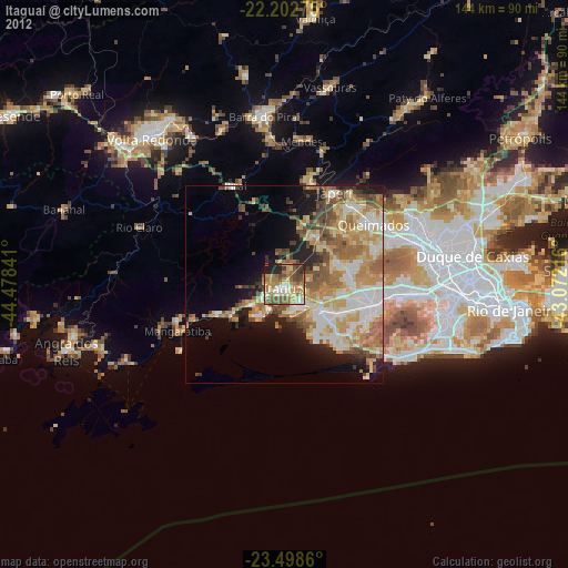
» Earth at Night: Flat Maps 2012, 2016