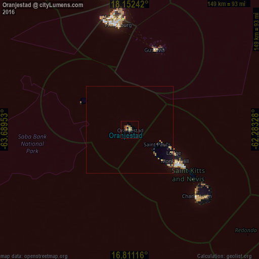
Oranjestad night lights from space
Night Light of Oranjestad (Sint Eustatius) from space (Bonaire, Saint Eustatius and Saba ) Src. Average luminocity for 10x10km area is 7.8864% and for 50x50km: 1.0404%.
Analysis of Oranjestad night lights 2016
Square area 10x10 km:
 0%
0%90-99
0%80-89
3.1%70-79
0.21%60-69
1.24%50-59
2.89%40-49
0.21%30-39
2.89%20-29
1.45%10-19
0.41%0-9
87.6%Square area 50x50 km:
0%90-99
0%80-89
0.24%70-79
0.19%60-69
0.21%50-59
0.18%40-49
0.06%30-39
0.26%20-29
0.16%10-19
0.71%0-9
97.99%Clear (daylight) street map image can be seen on geolist.org.
Map coordinates:
18° 9' 8.7" North, 63° 41' 22.3" West
17° 28' 58.9" North, 62° 59' 11" West
16° 48' 40.2" North, 62° 16' 59.8" West
Some cities around Oranjestad sort by population:
• Saint Paul’s, KN
18.1 km =11.2 mi,  118°
118°
• Middle Island, KN
25.6 km =15.9 mi,  133°
133°
• Nicola Town, KN
27.3 km =17 mi,  114°
114°
• Trinity, KN
30.2 km =18.8 mi, 132°
• Cayon, KN
30.7 km =19.1 mi, 118°
• Sandy Point Town, KN
20.1 km =12.5 mi, 133°
• Dieppe Bay Town, KN
19.8 km =12.3 mi, 112°
• The Bottom
32.1 km =19.9 mi,  299°
299°
3513426 (p: 1,097)
Sources (retrieved 2019-11-25):
» Earth at Night: Flat Maps 2012, 2016