Cayon night lights from space
Night Light of Cayon (Saint Mary Cayon) from space (Saint Kitts and Nevis) Src. Average luminocity for 10x10km area is 22.7252% and for 50x50km: 3.0915%.
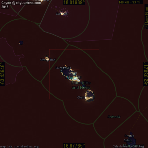
Analysis of Cayon night lights 2016
Square area 10x10 km:
 0.41%
0.41%90-99
1.24%80-89
5.58%70-79
5.17%60-69
6.61%50-59
0.83%40-49
0.83%30-39
1.03%20-29
3.31%10-19
29.96%0-9
45.04%Square area 50x50 km:
0.14%90-99
0.21%80-89
0.5%70-79
0.51%60-69
0.89%50-59
0.32%40-49
0.15%30-39
0.45%20-29
0.36%10-19
2.82%0-9
93.65%Clear (daylight) street map image can be seen on geolist.org.
Map coordinates:
18° 1' 11.6" North, 63° 26' 11.3" West
17° 21' 0" North, 62° 43' 60" West
16° 40' 39.5" North, 62° 1' 48.8" West
Some cities around Cayon sort by population:
• Basseterre
6.1 km =3.8 mi,  171°
171°
• Saint Paul’s
12.5 km =7.8 mi,  299°
299°
• Middle Island
8.6 km =5.3 mi,  251°
251°
• Nicola Town
3.9 km =2.4 mi,  327°
327°
• Trinity
7.1 km =4.4 mi,  219°
219°
• Sandy Point Town
12.3 km =7.6 mi,  274°
274°
• Dieppe Bay Town
11.2 km =7 mi,  310°
310°
• Monkey Hill
3 km =1.9 mi, 171°
3575487 (p: 788)
Sources (retrieved 2019-11-25):
» Earth at Night: Flat Maps 2012, 2016