Sandy Point Town night lights from space
Night Light of Sandy Point Town (Saint Anne Sandy Point) from space (Saint Kitts and Nevis) Src. Average luminocity for 10x10km area is 4.2789% and for 50x50km: 2.7506%.
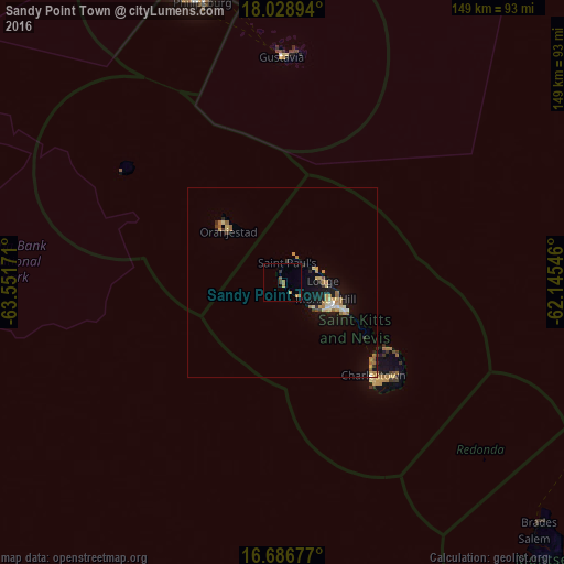
Analysis of Sandy Point Town night lights 2016
Square area 10x10 km:
 0%
0%90-99
0%80-89
0%70-79
1.65%60-69
1.65%50-59
0.83%40-49
0.83%30-39
1.24%20-29
0%10-19
0%0-9
93.8%Square area 50x50 km:
0.13%90-99
0.2%80-89
0.54%70-79
0.42%60-69
0.67%50-59
0.39%40-49
0.1%30-39
0.34%20-29
0.3%10-19
2.19%0-9
94.7%Clear (daylight) street map image can be seen on geolist.org.
Map coordinates:
18° 1' 44.2" North, 63° 33' 6.2" West
17° 21' 32.7" North, 62° 50' 54.9" West
16° 41' 12.4" North, 62° 8' 43.7" West
Some cities around Sandy Point Town sort by population:
• Basseterre
14.9 km =9.3 mi,  118°
118°
• Saint Paul’s
5.4 km =3.4 mi,  14°
14°
• Middle Island
5.5 km =3.4 mi,  132°
132°
• Nicola Town
10.4 km =6.5 mi,  77°
77°
• Trinity
10.1 km =6.3 mi, 130°
• Cayon
12.3 km =7.6 mi,  94°
94°
• Monkey Hill
13.3 km =8.3 mi,  107°
107°
• Dieppe Bay Town
7.2 km =4.5 mi,  30°
30°
3575156 (p: 780)
Sources (retrieved 2019-11-25):
» Earth at Night: Flat Maps 2012, 2016