Nicola Town night lights from space
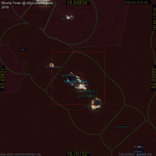
Night Light of Nicola Town (Christ Church Nichola Town) from space (Saint Kitts and Nevis) Src. Average luminocity for 10x10km area is 11.2769% and for 50x50km: 2.7308%.
Analysis of Nicola Town night lights 2016
Square area 10x10 km:
 0%
0%90-99
0%80-89
2.89%70-79
2.27%60-69
2.48%50-59
0%40-49
0.83%30-39
1.03%20-29
2.27%10-19
12.6%0-9
75.62%Square area 50x50 km:
0.13%90-99
0.19%80-89
0.46%70-79
0.41%60-69
0.68%50-59
0.36%40-49
0.12%30-39
0.43%20-29
0.32%10-19
2.44%0-9
94.46%Clear (daylight) street map image can be seen on geolist.org.
Map coordinates:
18° 2' 57.6" North, 63° 27' 22.7" West
17° 22' 46.4" North, 62° 45' 11.4" West
16° 42' 26.4" North, 62° 3' 0.2" West
Some cities around Nicola Town sort by population:
• Basseterre
9.8 km =6.1 mi,  162°
162°
• Saint Paul’s
9.2 km =5.7 mi,  288°
288°
• Middle Island
8.5 km =5.3 mi,  225°
225°
• Trinity
9.1 km =5.7 mi,  195°
195°
• Cayon
3.9 km =2.4 mi,  147°
147°
• Sandy Point Town
10.4 km =6.5 mi,  257°
257°
• Dieppe Bay Town
7.5 km =4.7 mi,  301°
301°
• Monkey Hill
6.8 km =4.2 mi, 157°
3575251 (p: 2,059)
Sources (retrieved 2019-11-25):
» Earth at Night: Flat Maps 2012, 2016