Madīnat Ḩamad night lights from space
Night Light of Madīnat Ḩamad (Northern) from space (Bahrain) Src. Average luminocity for 10x10km area is 95.7817% and for 50x50km: 42.401%.
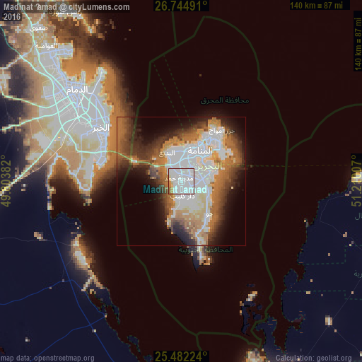
Analysis of Madīnat Ḩamad night lights 2016
Square area 10x10 km:
 58.13%
90-99
28.37%80-89
3.57%70-79
4.96%60-69
4.76%50-59
0.2%40-49
0%30-39
0%20-29
0%10-19
0%0-9
0%Square area 50x50 km:
11.92%90-99
8.66%80-89
3.75%70-79
3.76%60-69
8.64%50-59
5.35%40-49
4.77%30-39
6.35%20-29
6.56%10-19
8.67%0-9
31.56%Clear (daylight) street map image can be seen on geolist.org.
Map coordinates:
26° 44' 41.7" North, 49° 48' 13.8" East
26° 6' 55" North, 50° 30' 25" East
25° 28' 56.1" North, 51° 12' 36.3" East
Some cities around Madīnat Ḩamad sort by population:
• Khobar, SA
34.9 km =21.7 mi,  301°
301°
• Manama
14.8 km =9.2 mi,  32°
32°
• Al Muharraq
18.9 km =11.7 mi, 33°
• Ar Rifā‘
5.1 km =3.2 mi,  71°
71°
• Dār Kulayb
5.2 km =3.2 mi,  183°
183°
• Sitrah
12.2 km =7.6 mi, 68°
• Jidd Ḩafş
12.2 km =7.6 mi,  19°
19°
• Al Ḩadd
20.6 km =12.8 mi,  45°
45°
290247 (p: 52,718)
Sources (retrieved 2019-11-25):
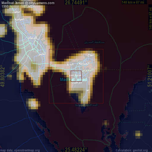
» NASA, Earths city lights 1995
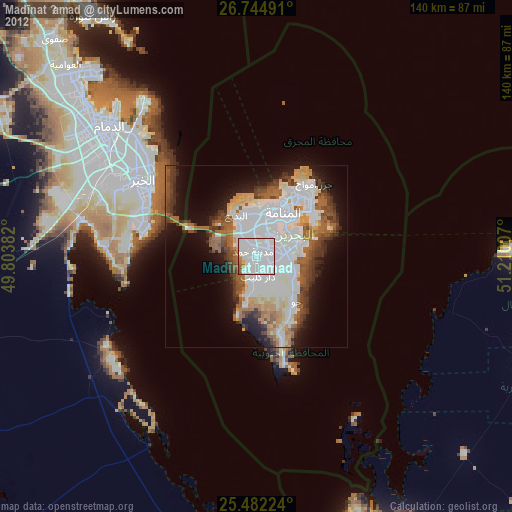
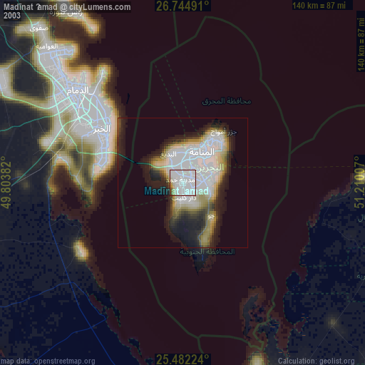
» NASA city lights 2003
» Earth at Night: Flat Maps 2012, 2016