Al Muharraq night lights from space
Night Light of Al Muharraq (Muharraq) from space (Bahrain) Src. Average luminocity for 10x10km area is 92.5635% and for 50x50km: 31.1586%.
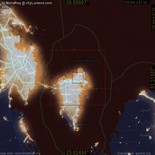
Analysis of Al Muharraq night lights 2016
Square area 10x10 km:
 46.43%
90-99
31.15%80-89
8.53%70-79
4.17%60-69
4.56%50-59
2.18%40-49
2.18%30-39
0.79%20-29
0%10-19
0%0-9
0%Square area 50x50 km:
11.09%90-99
6.97%80-89
2.7%70-79
2.25%60-69
5.07%50-59
2.99%40-49
2.78%30-39
3.52%20-29
3.39%10-19
5.44%0-9
53.8%Clear (daylight) street map image can be seen on geolist.org.
Map coordinates:
26° 53' 9.9" North, 49° 54' 31.8" East
26° 15' 26" North, 50° 36' 43" East
25° 37' 29.8" North, 51° 18' 54.3" East
Some cities around Al Muharraq sort by population:
• Manama
4.2 km =2.6 mi,  218°
218°
• Ar Rifā‘
15.2 km =9.4 mi,  201°
201°
• Dār Kulayb
23.6 km =14.7 mi,  207°
207°
• Madīnat Ḩamad
18.9 km =11.7 mi, 213°
• Madīnat ‘Īsá
11.3 km =7 mi, 214°
• Sitrah
11.4 km =7.1 mi,  175°
175°
• Jidd Ḩafş
7.7 km =4.8 mi,  236°
236°
• Al Ḩadd
4.4 km =2.7 mi,  107°
107°
290332 (p: 97,458)
Sources (retrieved 2019-11-25):
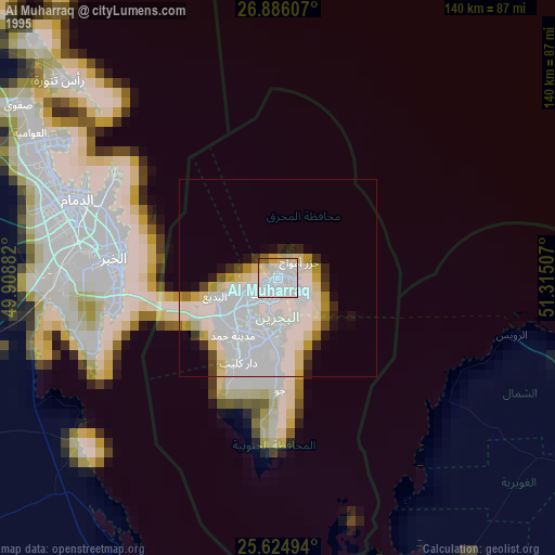
» NASA, Earths city lights 1995
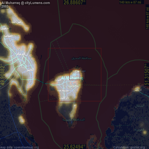
» NASA city lights 2003
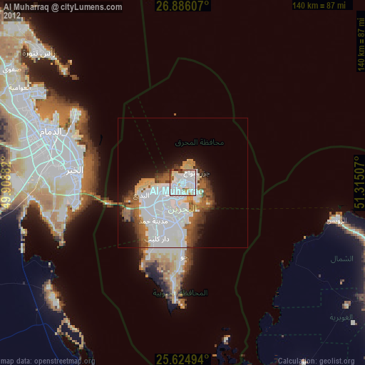
» Earth at Night: Flat Maps 2012, 2016