Manama night lights from space
Night Light of Manama from space (Bahrain) Src. Average luminocity for 10x10km area is 94.4881% and for 50x50km: 33.9336%.
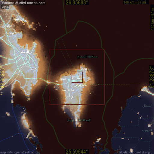
Analysis of Manama night lights 2016
Square area 10x10 km:
 54.56%
90-99
26.19%80-89
8.93%70-79
2.38%60-69
7.54%50-59
0.4%40-49
0%30-39
0%20-29
0%10-19
0%0-9
0%Square area 50x50 km:
11.32%90-99
7.62%80-89
3.12%70-79
2.8%60-69
5.43%50-59
3.39%40-49
3.01%30-39
4.01%20-29
4.19%10-19
6.48%0-9
48.62%Clear (daylight) street map image can be seen on geolist.org.
Map coordinates:
26° 51' 24.8" North, 49° 52' 57.1" East
26° 13' 40.3" North, 50° 35' 8.3" East
25° 35' 43.6" North, 51° 17' 19.6" East
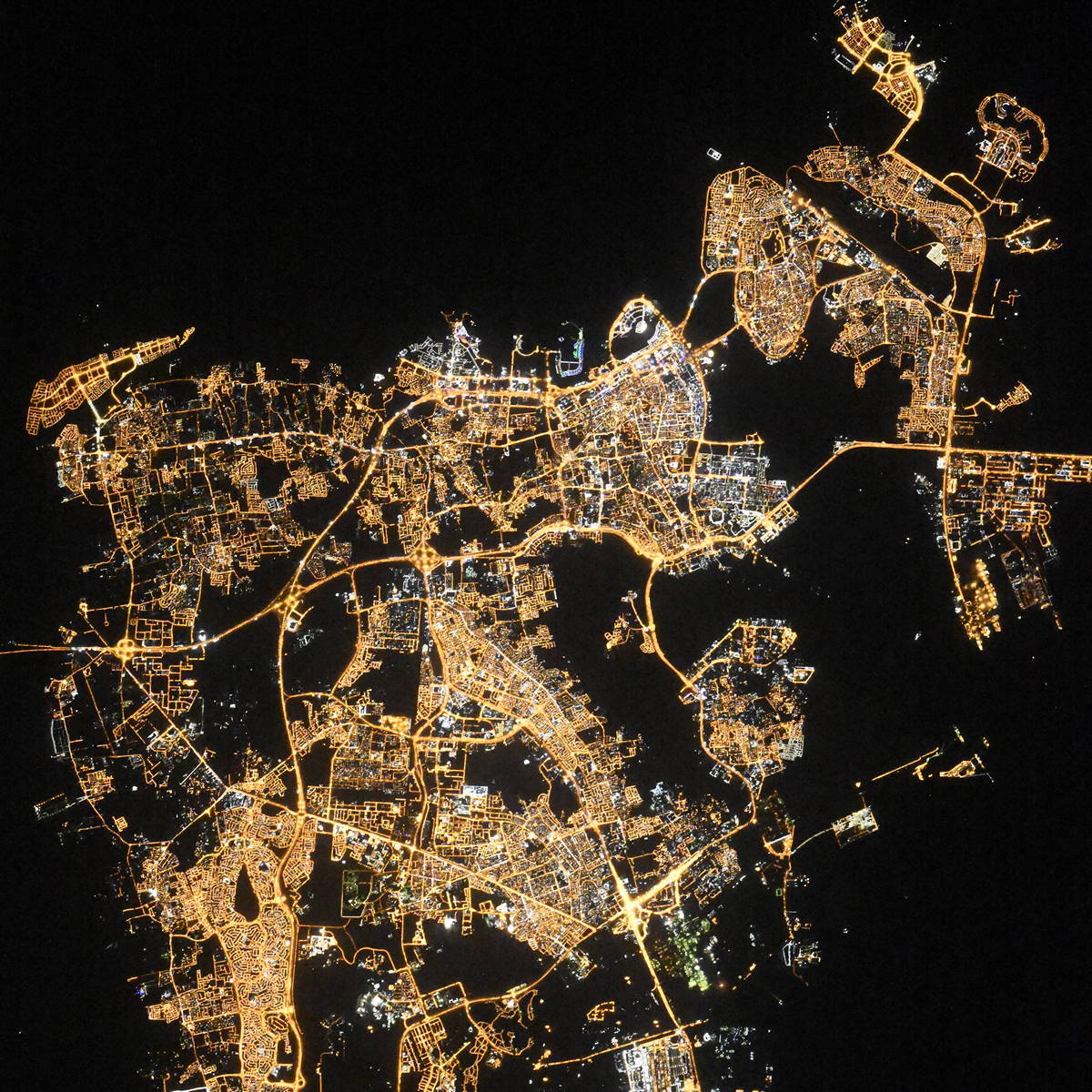
Fantastic image of Manama from space taken by astronauts [src2], but I don't have information about it's orientation, scale or angle. If necessary, it was rotated manually, so North points approximately to upper direction. Click to zoom in:
Some cities around Manama sort by population:
• Al Muharraq
4.2 km =2.6 mi,  38°
38°
• Ar RifÄâ
11.3 km =7 mi,  195°
195°
• DÄr Kulayb
19.5 km =12.1 mi, 204°
• MadÄŦnat áļĻamad
14.8 km =9.2 mi,  212°
212°
• MadÄŦnat âÄŠsÃĄ
7.1 km =4.4 mi, 212°
• Sitrah
8.8 km =5.5 mi,  156°
156°
• Jidd áļĻafÅ
3.9 km =2.4 mi,  254°
254°
• Al áļĻadd
7.1 km =4.4 mi,  73°
73°
290340 (p: 147,074)
Sources (retrieved 2019-11-25):
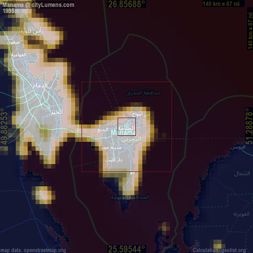
» NASA, Earths city lights 1995
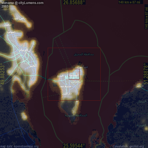
» NASA city lights 2003
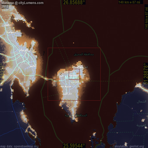
» Earth at Night: Flat Maps 2012, 2016
Src.2: picture by Oleg Kononenko, Roscosmos, retrieved 2019-11-29