Velingrad night lights from space
Night Light of Velingrad (Pazardzhik) from space (Bulgaria) Src. Average luminocity for 10x10km area is 10.0619% and for 50x50km: 1.1803%.
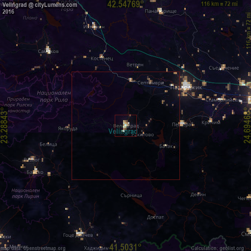
Analysis of Velingrad night lights 2016
Square area 10x10 km:
 0.48%
0.48%90-99
2.54%80-89
0.63%70-79
1.59%60-69
1.9%50-59
1.43%40-49
1.9%30-39
0.32%20-29
0.32%10-19
0.79%0-9
88.1%Square area 50x50 km:
0.04%90-99
0.13%80-89
0.07%70-79
0.12%60-69
0.3%50-59
0.19%40-49
0.2%30-39
0.25%20-29
0.23%10-19
0.52%0-9
97.95%Clear (daylight) street map image can be seen on geolist.org.
Map coordinates:
42° 32' 51.7" North, 23° 17' 18.3" East
42° 1' 39.1" North, 23° 59' 29.6" East
41° 30' 11.2" North, 24° 41' 40.8" East
Some cities around Velingrad sort by population:
• Pazardzhik
34.1 km =21.2 mi,  55°
55°
• Peshtera
25.5 km =15.8 mi,  88°
88°
• Razlog
46.1 km =28.6 mi,  250°
250°
• Stamboliyski
46.2 km =28.7 mi,  75°
75°
• Septemvri
23.4 km =14.5 mi,  29°
29°
• Krichim
39.3 km =24.4 mi, 86°
• Rakitovo
8.9 km =5.5 mi,  117°
117°
• Yakoruda
25.4 km =15.8 mi,  269°
269°
725988 (p: 24,036)
Sources (retrieved 2019-11-25):
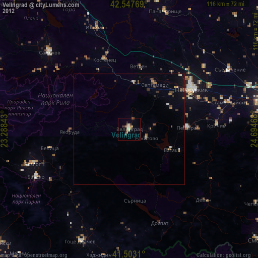
» Earth at Night: Flat Maps 2012, 2016