Pazardzhik night lights from space
Night Light of Pazardzhik from space (Bulgaria) Src. Average luminocity for 10x10km area is 30.297% and for 50x50km: 3.9626%.
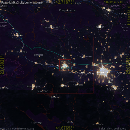
Analysis of Pazardzhik night lights 2016
Square area 10x10 km:
 3.79%
3.79%90-99
5.61%80-89
1.21%70-79
4.39%60-69
4.24%50-59
4.7%40-49
5.15%30-39
2.58%20-29
3.79%10-19
43.33%0-9
21.21%Square area 50x50 km:
0.27%90-99
0.38%80-89
0.19%70-79
0.43%60-69
0.84%50-59
0.84%40-49
0.74%30-39
0.67%20-29
0.85%10-19
2.3%0-9
92.5%Clear (daylight) street map image can be seen on geolist.org.
Map coordinates:
42° 43' 7.4" North, 23° 37' 48.8" East
42° 12' 0" North, 24° 19' 60" East
41° 40' 37.1" North, 25° 2' 11.3" East
Some cities around Pazardzhik sort by population:
• Velingrad
34.1 km =21.2 mi,  235°
235°
• Peshtera
18.7 km =11.6 mi,  188°
188°
• Stamboliyski
18.1 km =11.2 mi,  114°
114°
• Septemvri
16.8 km =10.4 mi,  274°
274°
• Krichim
20 km =12.4 mi,  146°
146°
• Rakitovo
30.9 km =19.2 mi,  221°
221°
• Saedinenie
19.3 km =12 mi,  67°
67°
• Perushtitsa
24.4 km =15.2 mi,  133°
133°
728378 (p: 75,977)
Sources (retrieved 2019-11-25):
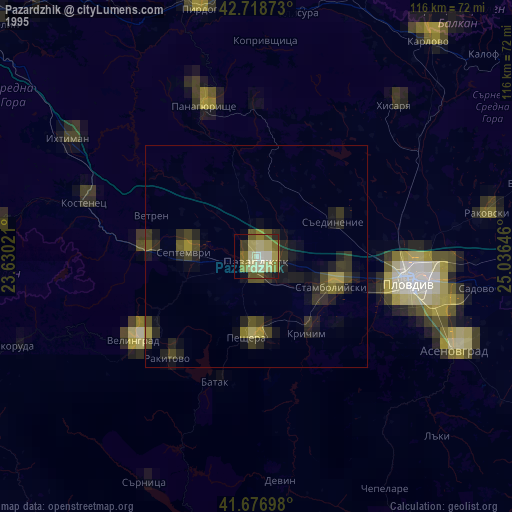
» NASA, Earths city lights 1995
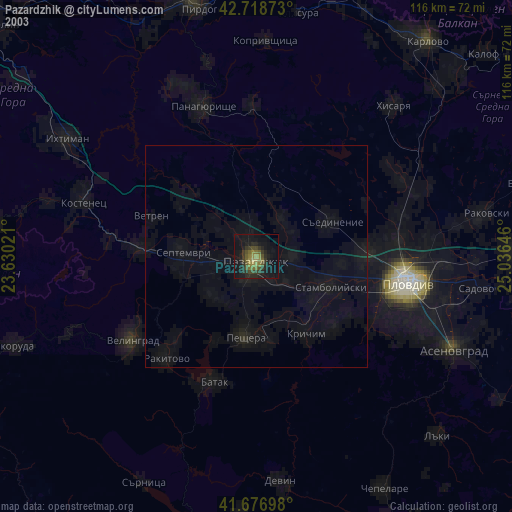
» NASA city lights 2003
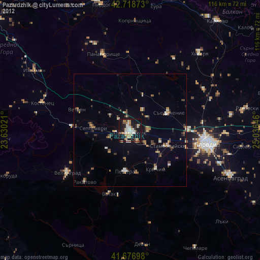
» Earth at Night: Flat Maps 2012, 2016