Sofia night lights from space
Night Light of Sofia (Sofia-Capital) from space (Bulgaria) Src. Average luminocity for 10x10km area is 94.753% and for 50x50km: 18.0754%.
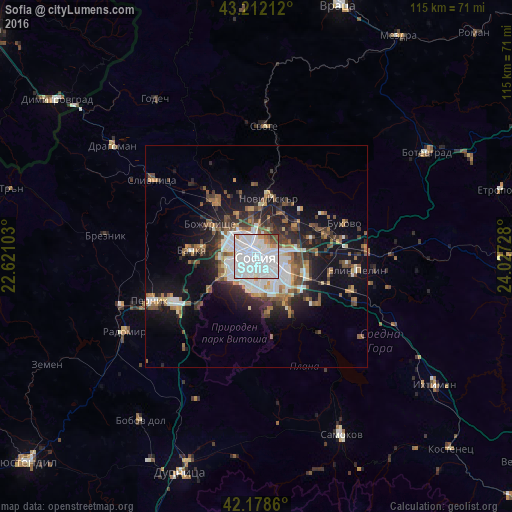
Analysis of Sofia night lights 2016
Square area 10x10 km:
 55.76%
90-99
31.82%80-89
1.36%70-79
3.48%60-69
2.27%50-59
3.18%40-49
1.06%30-39
1.06%20-29
0%10-19
0%0-9
0%Square area 50x50 km:
4.11%90-99
3.54%80-89
0.95%70-79
1.52%60-69
2.26%50-59
3.09%40-49
2.31%30-39
2.43%20-29
4.78%10-19
10.36%0-9
64.65%Clear (daylight) street map image can be seen on geolist.org.
Map coordinates:
43° 12' 43.6" North, 22° 37' 15.7" East
42° 41' 51" North, 23° 19' 26.9" East
42° 10' 43" North, 24° 1' 38.2" East
Some cities around Sofia sort by population:
• Pernik
26.1 km =16.2 mi,  245°
245°
• Botevgrad
43.7 km =27.2 mi,  58°
58°
• Radomir
33.9 km =21.1 mi,  240°
240°
• Kostinbrod
15.9 km =9.9 mi,  326°
326°
• Svoge
30 km =18.6 mi,  4°
4°
• Slivnitsa
29 km =18 mi,  306°
306°
• Elin Pelin
22.8 km =14.2 mi,  98°
98°
• Godech
42 km =26.1 mi, 327°
727011 (p: 1,152,556)
Sources (retrieved 2019-11-25):
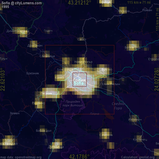
» NASA, Earths city lights 1995
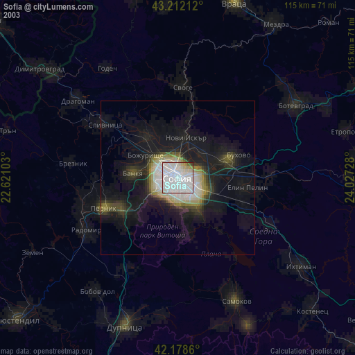
» NASA city lights 2003
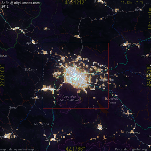
» Earth at Night: Flat Maps 2012, 2016